Mastodon
Back to home

Faroe Islands in August 2026
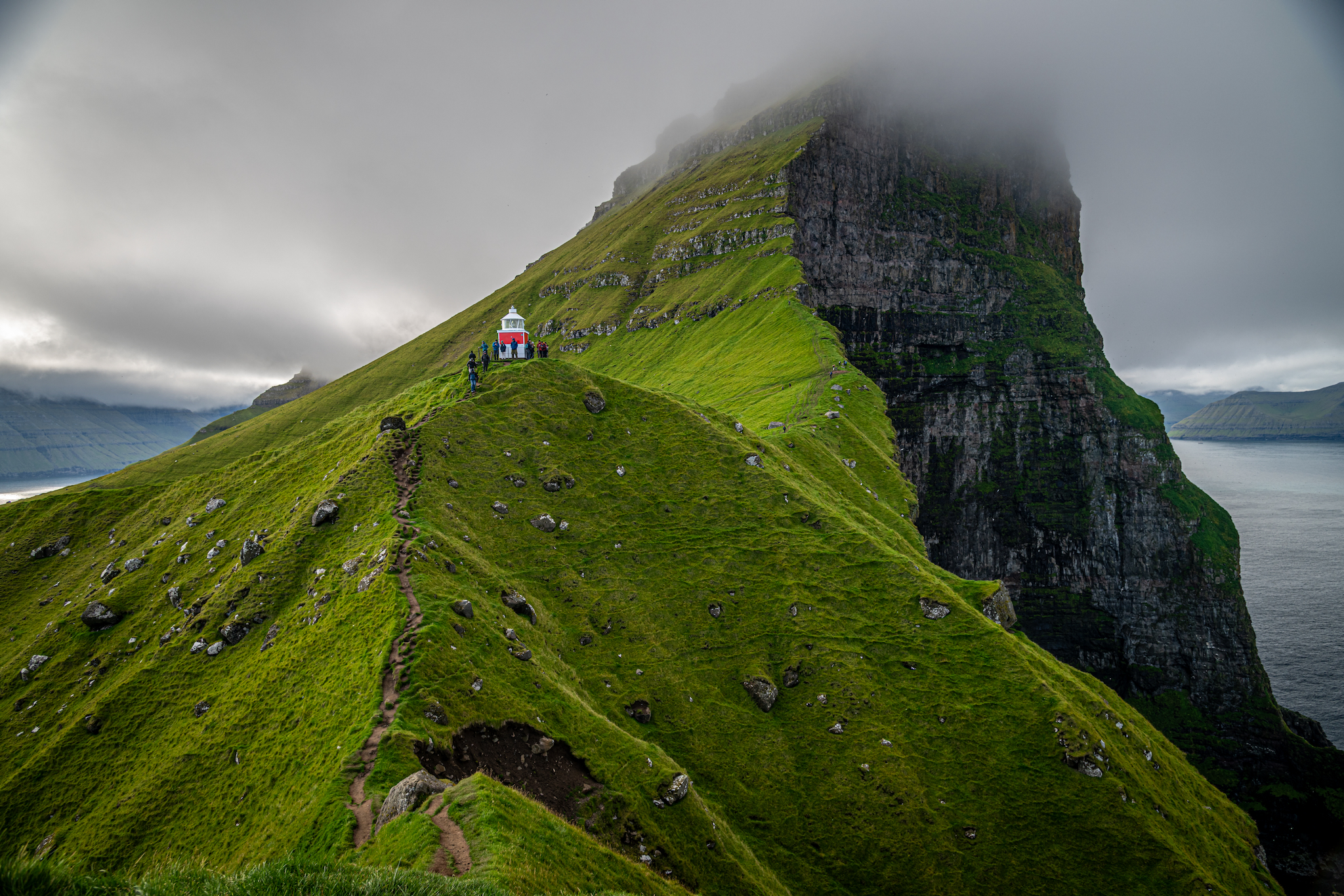
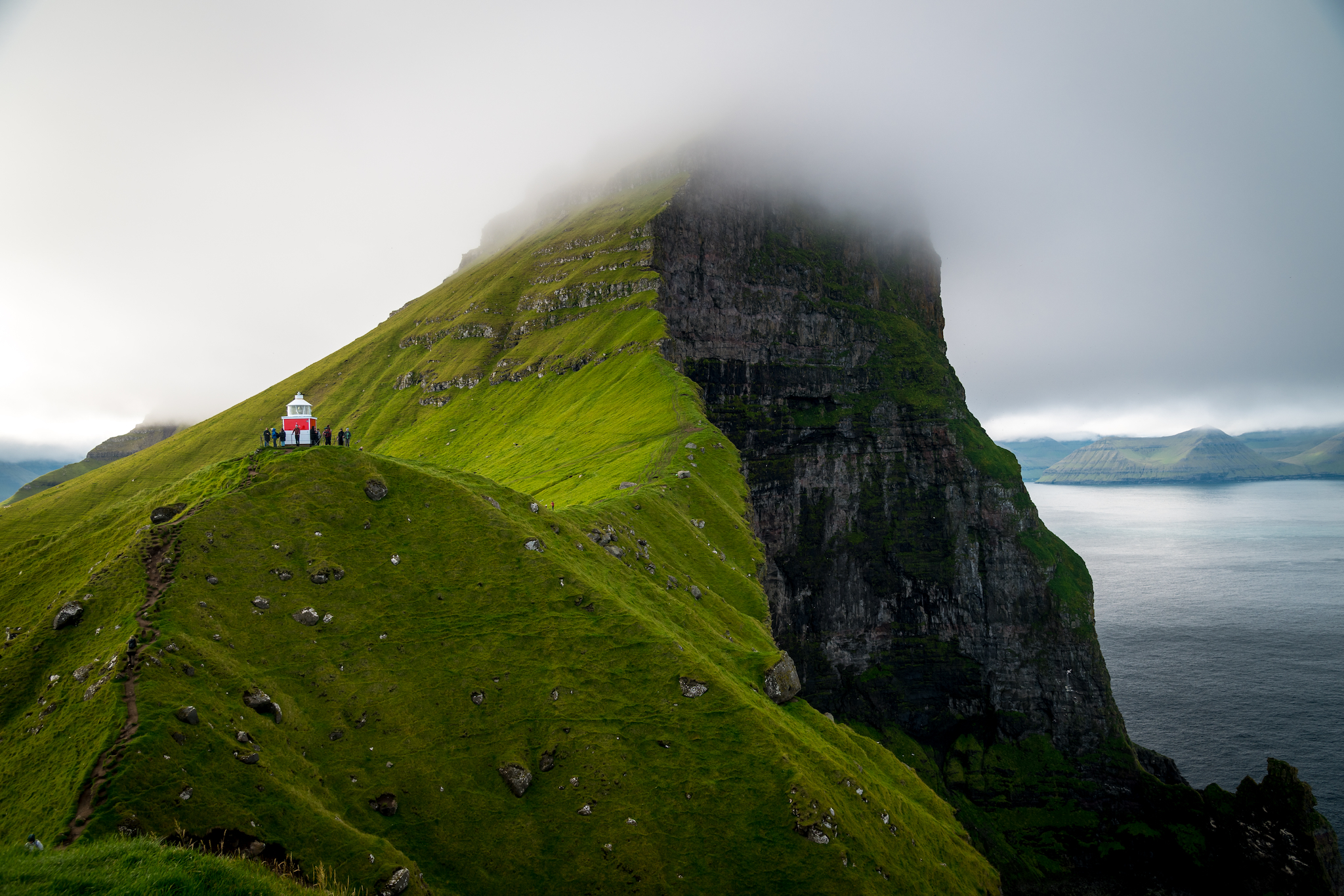
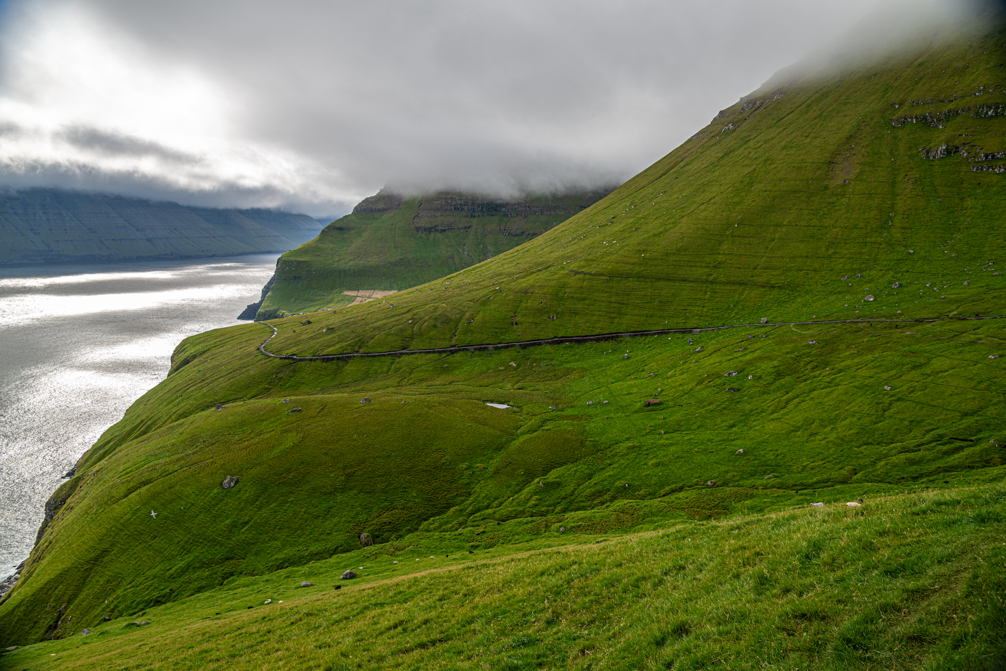
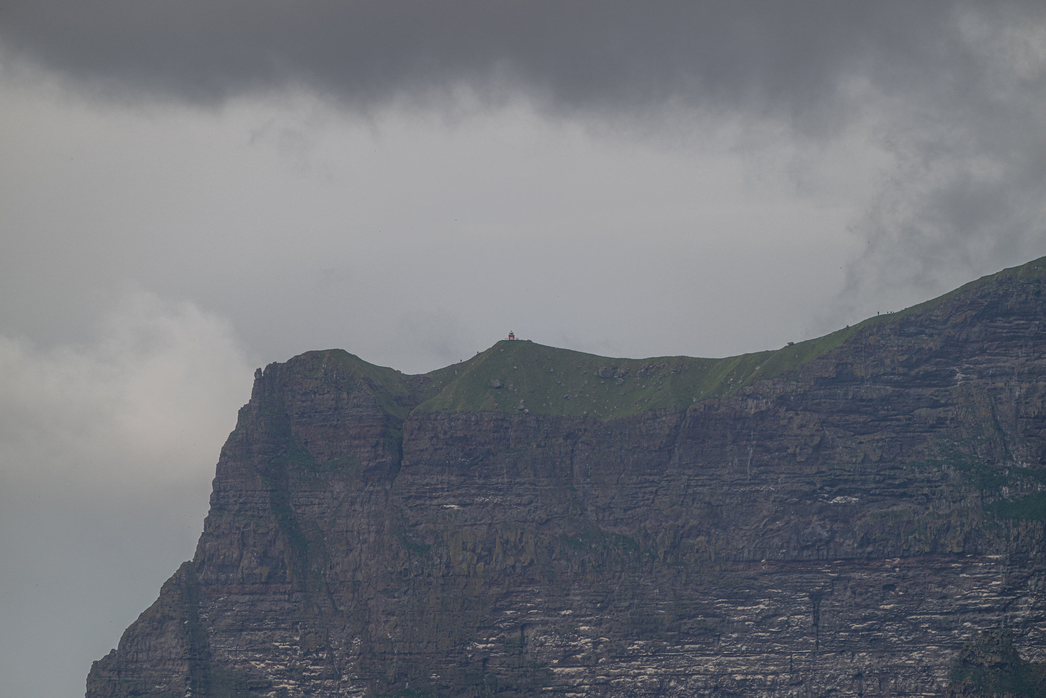
The worn path to Kallur lighthouse, with the cliffs of Borgarin lost in cloud above

Our trip to the Faroe Islands was a long time in the making. We were inspired to visit after seeing spectacular photos of its sheer cliffs, waterfalls, and houses with lush grass roofs for a few years. We had wanted to fast-track a trip to this archipelago in the North Atlantic, but we decided to lock it in as our next big trip in April 2024. After the total solar eclipse on April 8, 2024, we set our sights on the next big eclipse event, which would occur on August 12, 2026, with a path of totality through parts of Greenland, Iceland, Spain, and Portugal. This would be the perfect time to finally take our trip to the Faroe Islands, with the added bonus of a few-day stopover in Iceland to hopefully witness the total solar eclipse. 

Solar Eclipse 2026 in Iceland

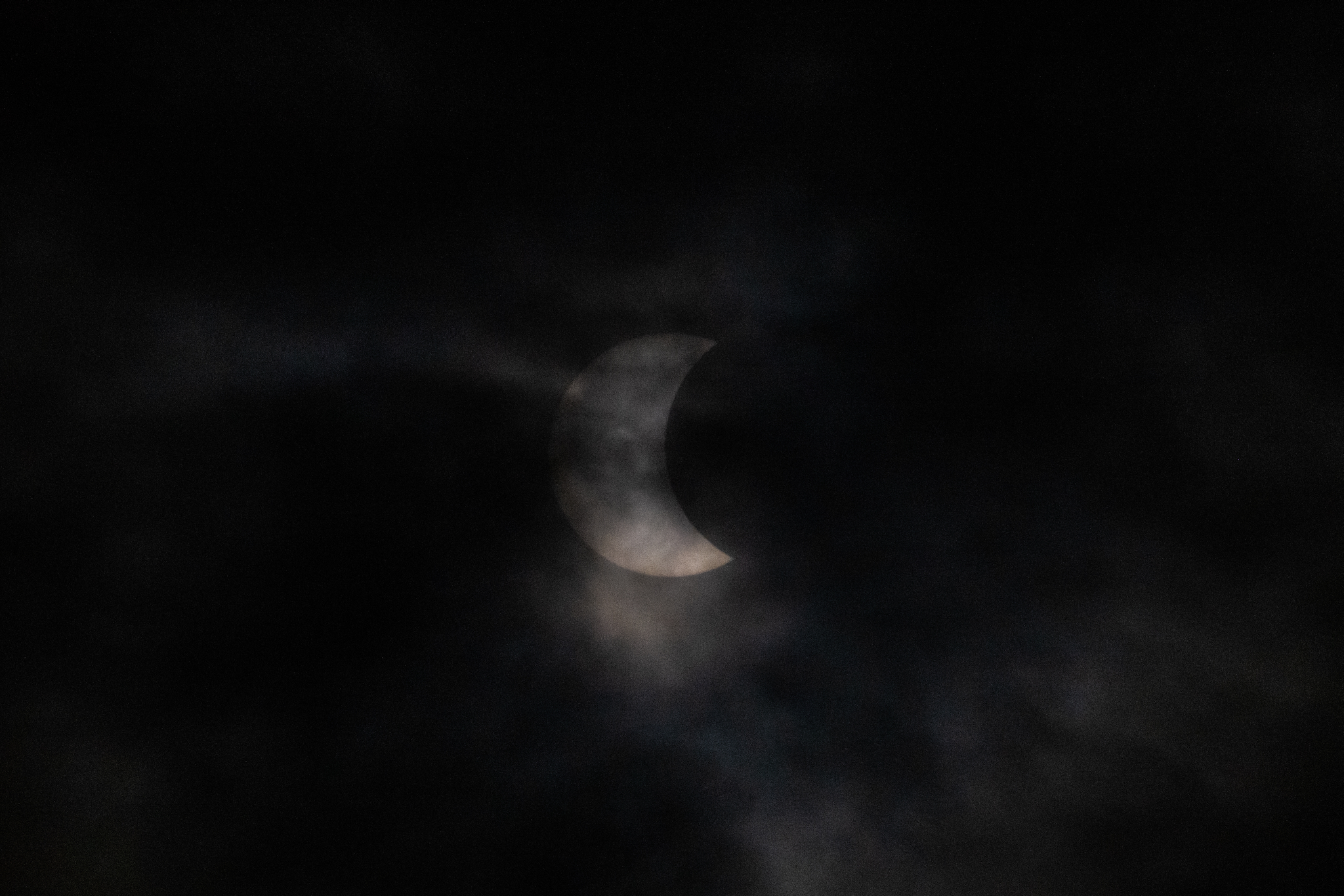
We booked a flight from New York to Vágar in the Faroe Islands but used Icelandair's "Stopover" to give ourselves four days in Iceland ahead of the total solar eclipse. Upon our arrival, we picked up our camper van from Happy Campers and drove up to the Westfjords. We had previously reserved a camping spot at Rauðsdalur on the coast of Breiðafjörður. Because of the uncertainty around expected crowds for the solar eclipse, we arrived a few days early to secure our camping spot for the event. We spent two beautiful days relaxing, but on the third day low-hanging clouds and the occasional light rain rolled in. Although this prevented us from seeing totality with the solar corona and Baily's Beads, we still had a spectacular experience. 
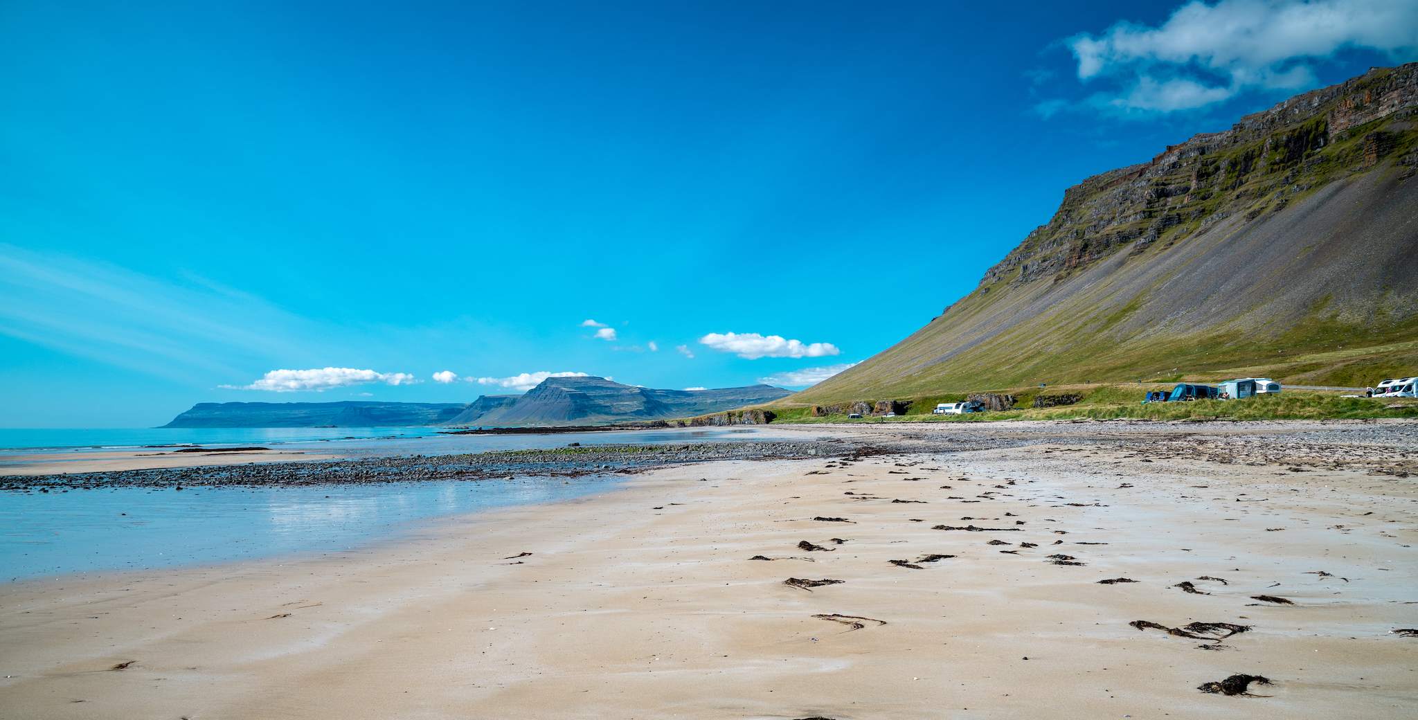
Campervans on the golden sands of Breiðavík, one of the Westfjords' few blonde beaches
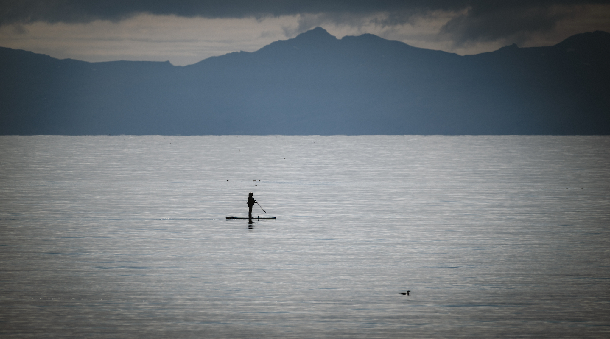
A single paddleboarder crosses the glassy water of Patreksfjörður
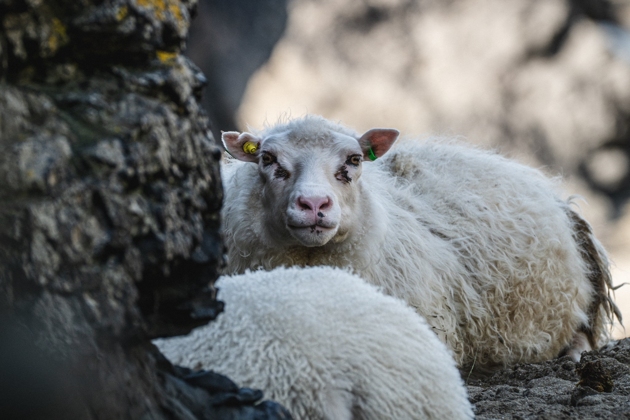
Icelandic ewe and lamb resting against dark lava rock
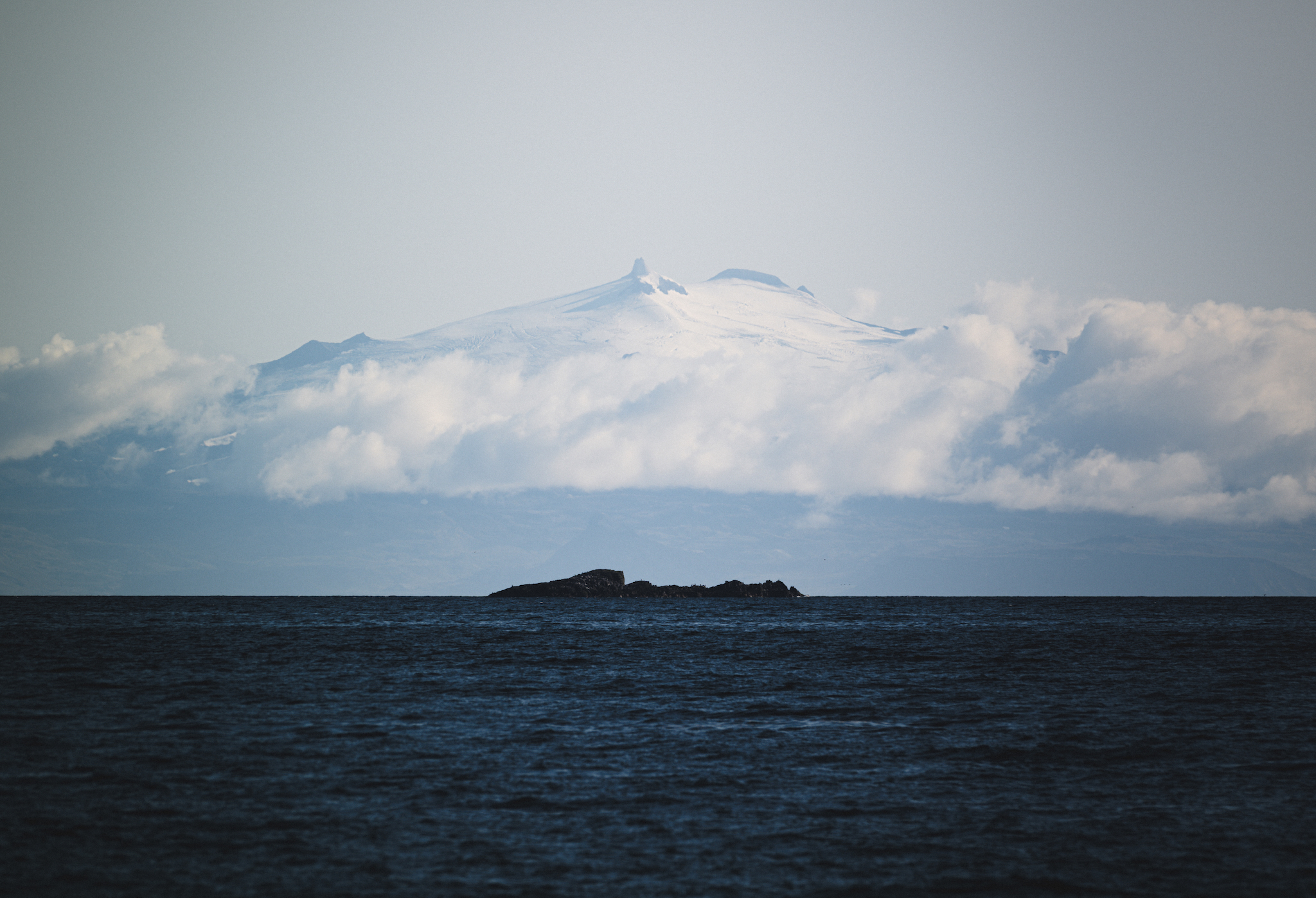
The glacier-capped cone of Snæfellsjökull, seen across Breiðafjörður from Iceland's Westfjords
The August 2026 solar eclipse seen through cloud from the Icelandic Westfjords

Arrival in the Faroe Islands

The following morning we drove back to drop off our camper van and spent the evening in Keflavík before our flight to the Faroe Islands the following day. We arrived at Vágar Airport the following evening and headed straight to Tórshavn for our dinner reservation at Áarstova.
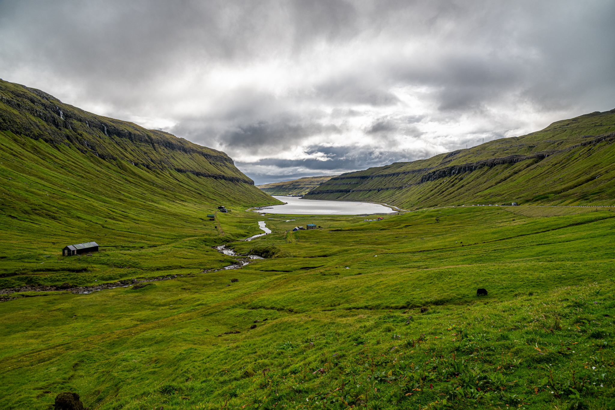
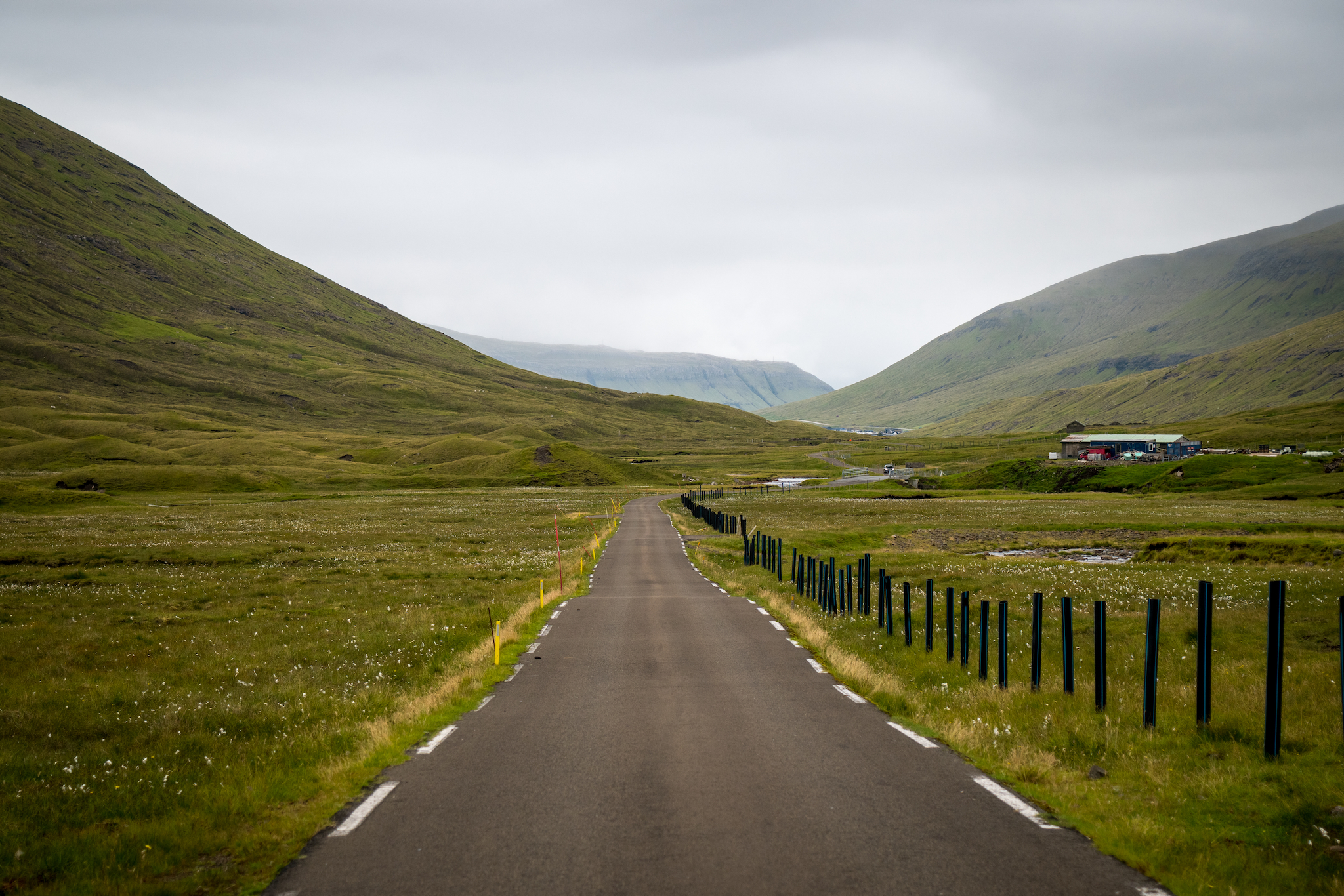
The road to Tórshavn runs along Kaldbaksfjørður, where the mountains close in

Vágar

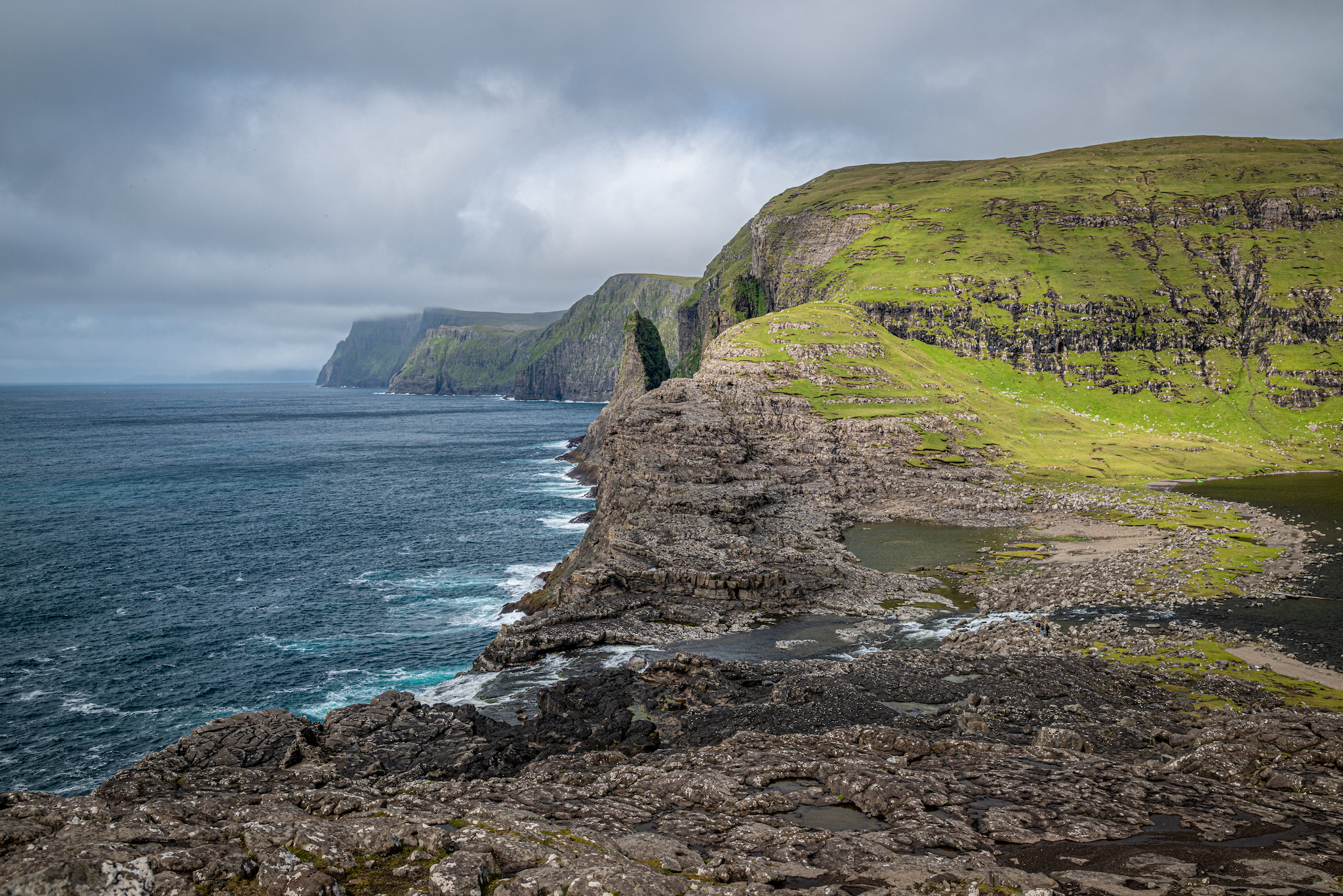
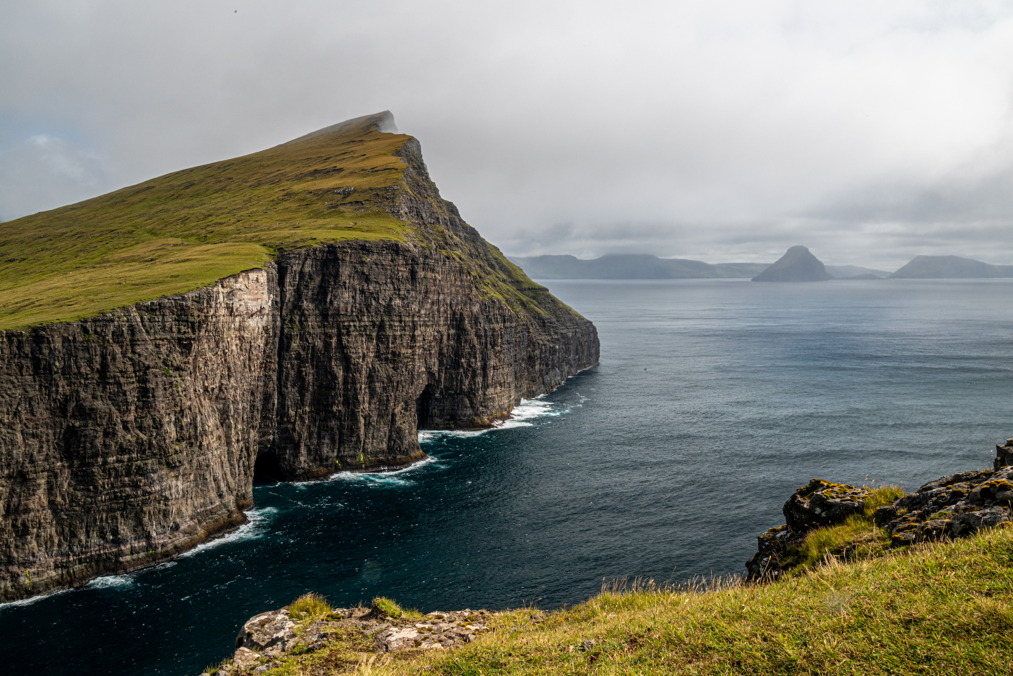
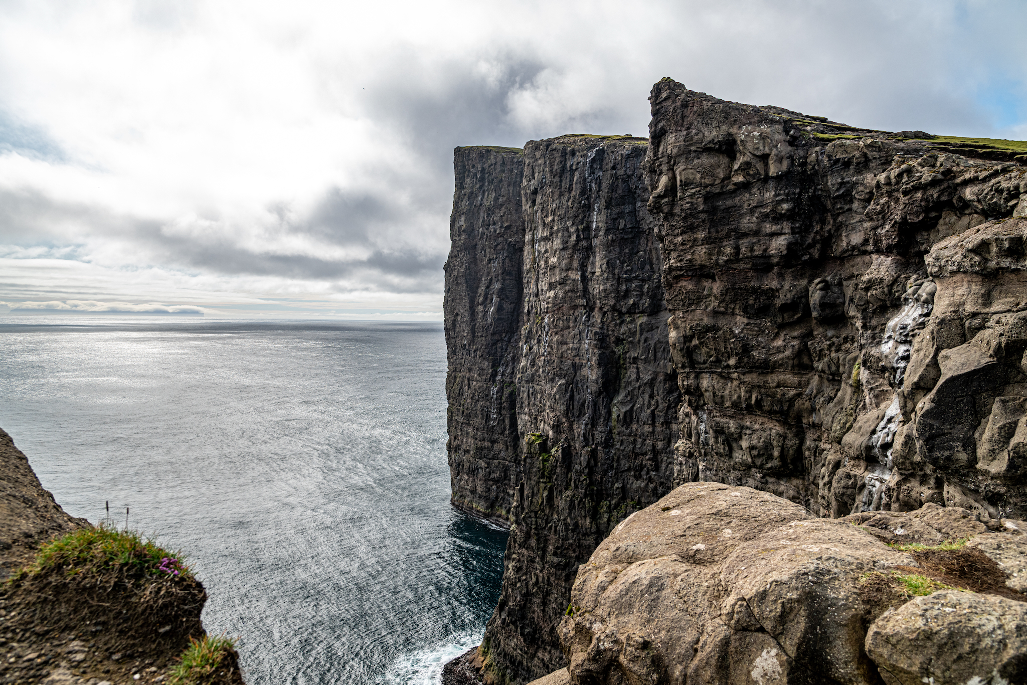
We began our first full day in the Faroe Islands on Vágar, in the west. We drove from our place in Tórshavn to the Trælanípan Trailhead in the village of Miðvágur. The Trælanípan Trail is a two-and-a-half-hour hike that takes you down to lake Sørvágsvatn, then up to the scenic Trælanípa viewpoint famously known as "The Lake Above the Ocean". Trælanípa itself is a perpendicular cliff that drops straight down into the ocean. The lake also drops off into the ocean at Bøsdalafossur Waterfall, a short walk away.

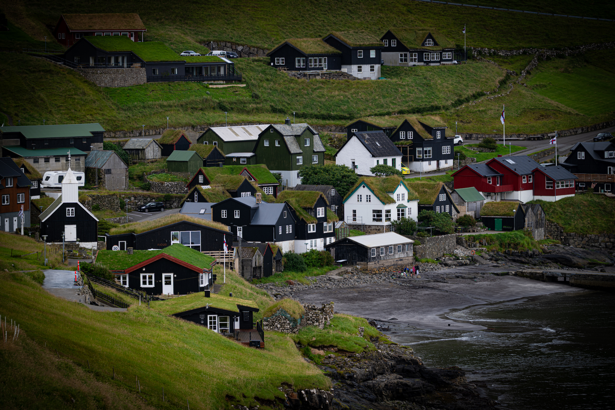
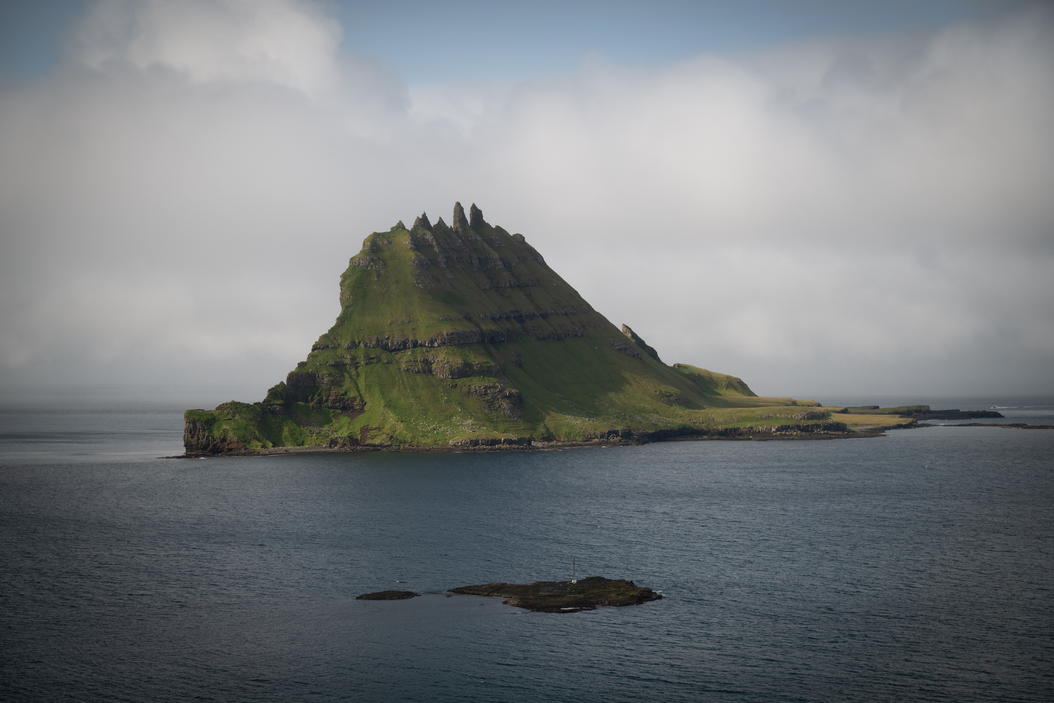
At the conclusion of our hike, we drove a short distance to the village of Bøur. This picturesque town is known for its grass-roofed houses and views of Tindhólmur and Drangarnir.

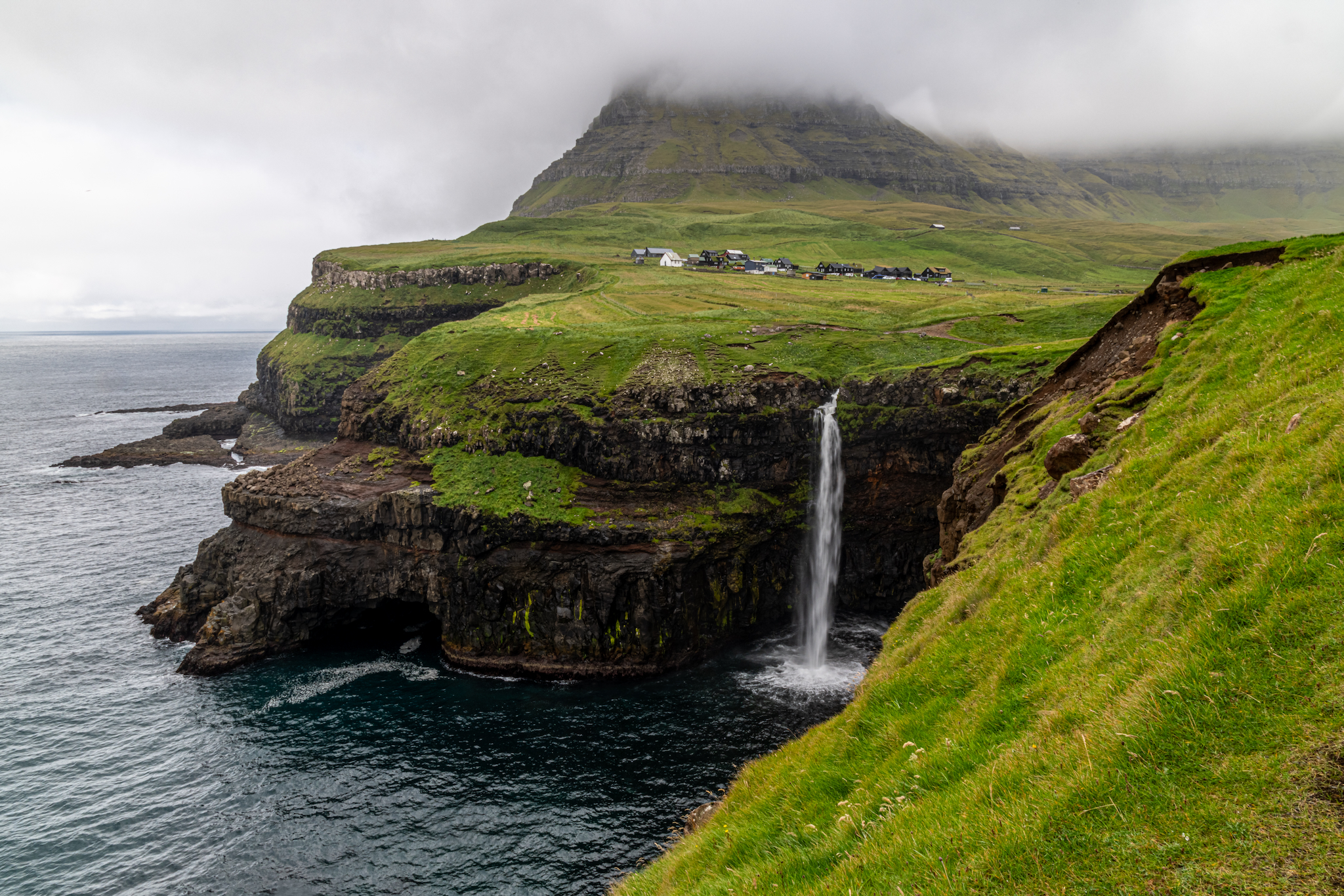
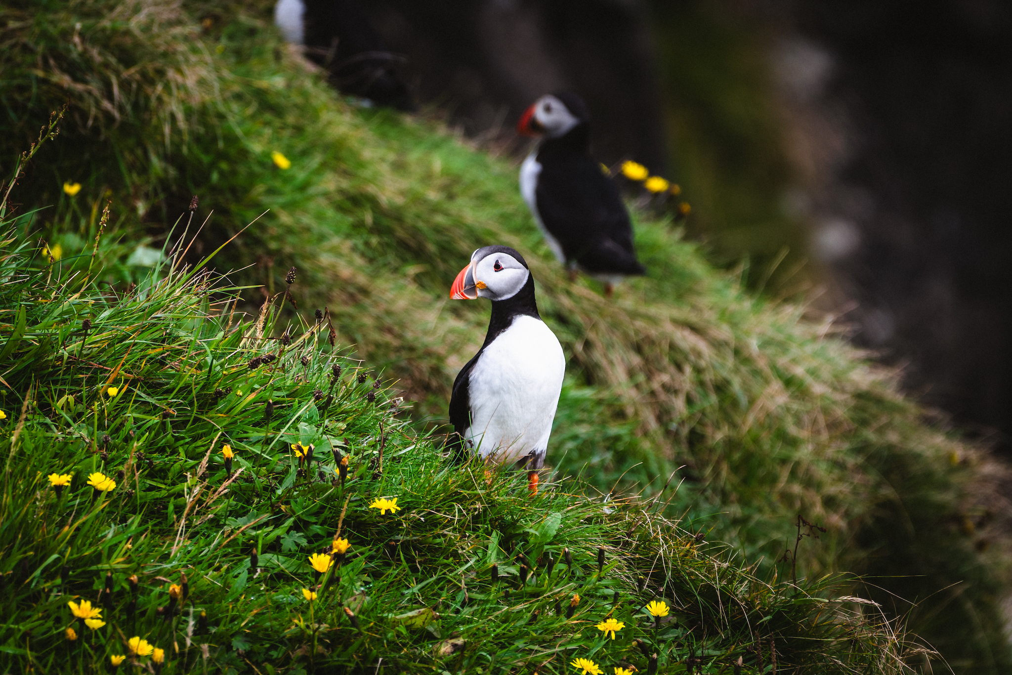
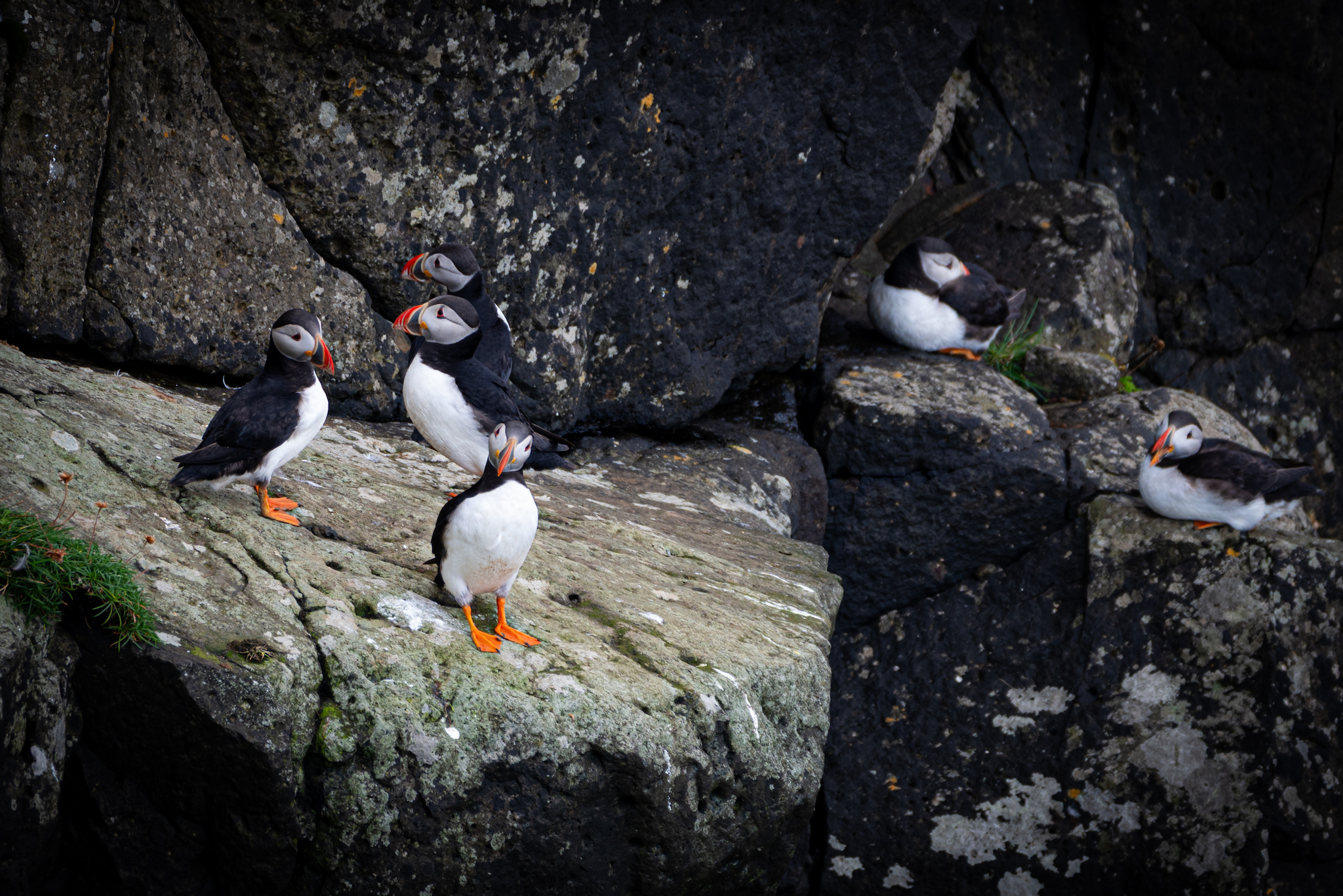
Lastly, we drove up to the remote village of Gásadalur. It's home to the Múlafossur Waterfall, a famous 100-foot waterfall that drops straight into the ocean. During the summer, puffins and other seabirds nest in the surrounding cliffs. 
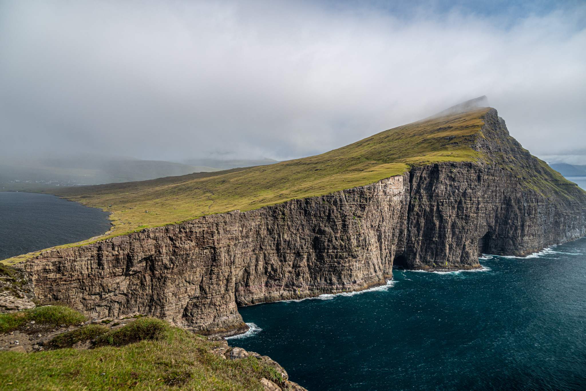
The Trælanípa viewpoint on Vágar, where Lake Leitisvatn appears to hang above the ocean
Bøsdalafossur, where Lake Leitisvatn spills straight off the rock into the Atlantic
Trælanípa, the "Slave Cliff", with Koltur and the southern islands on the horizon
The sheer drop of Trælanípa — roughly 459 feet straight into the sea
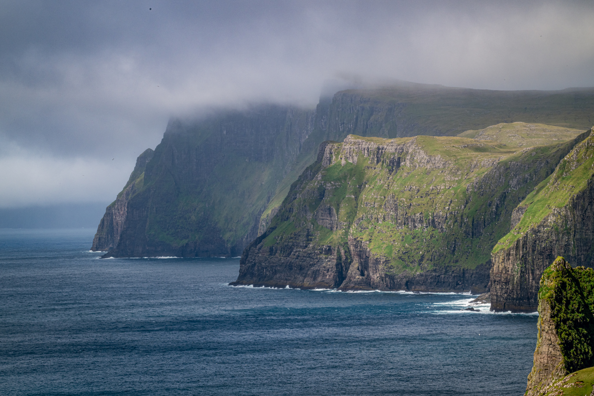
Looking west along Vágar's cliff coast from the Trælanípa path
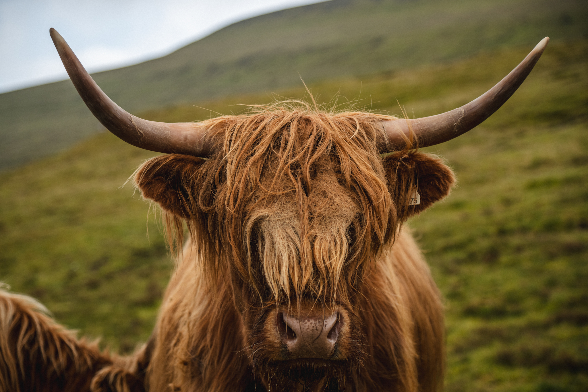
A Highland cow on the hillside above Miðvágur, Vágar
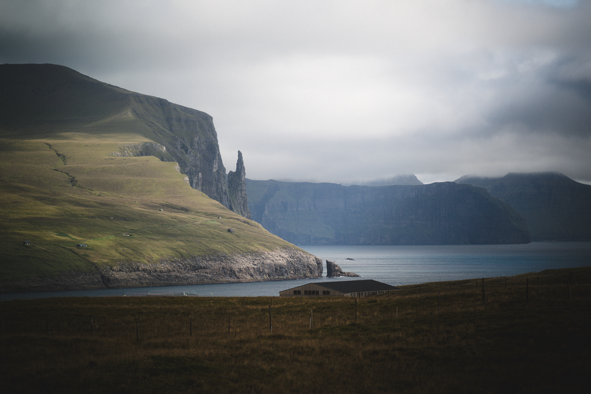
Trøllkonufingur — the "Witch's Finger" — on Vágar's east coast near Sandavágur
Village of Bøur with turf-roofed houses and a white church by the shore
Tindhólmur and its five peaks, seen from the shore at Bøur
Múlafossur, where the stream from Gásadalur drops straight off the cliff into the Atlantic
Atlantic puffins on the flowered slopes above Gásadalur, Vágar
Puffins gathered on the basalt ledges of the Gásadalur cliffs, Vágar

Streymoy

The next day, we explored the island of Streymoy, the largest and most populous of the country's eighteen islands. Our first stop was the sandy beaches in the village of Leynar. A short drive north, we stopped in the small village of Kvívík, which was settled by Vikings. Near the seaside, you'll find the excavations of an original Viking farm.

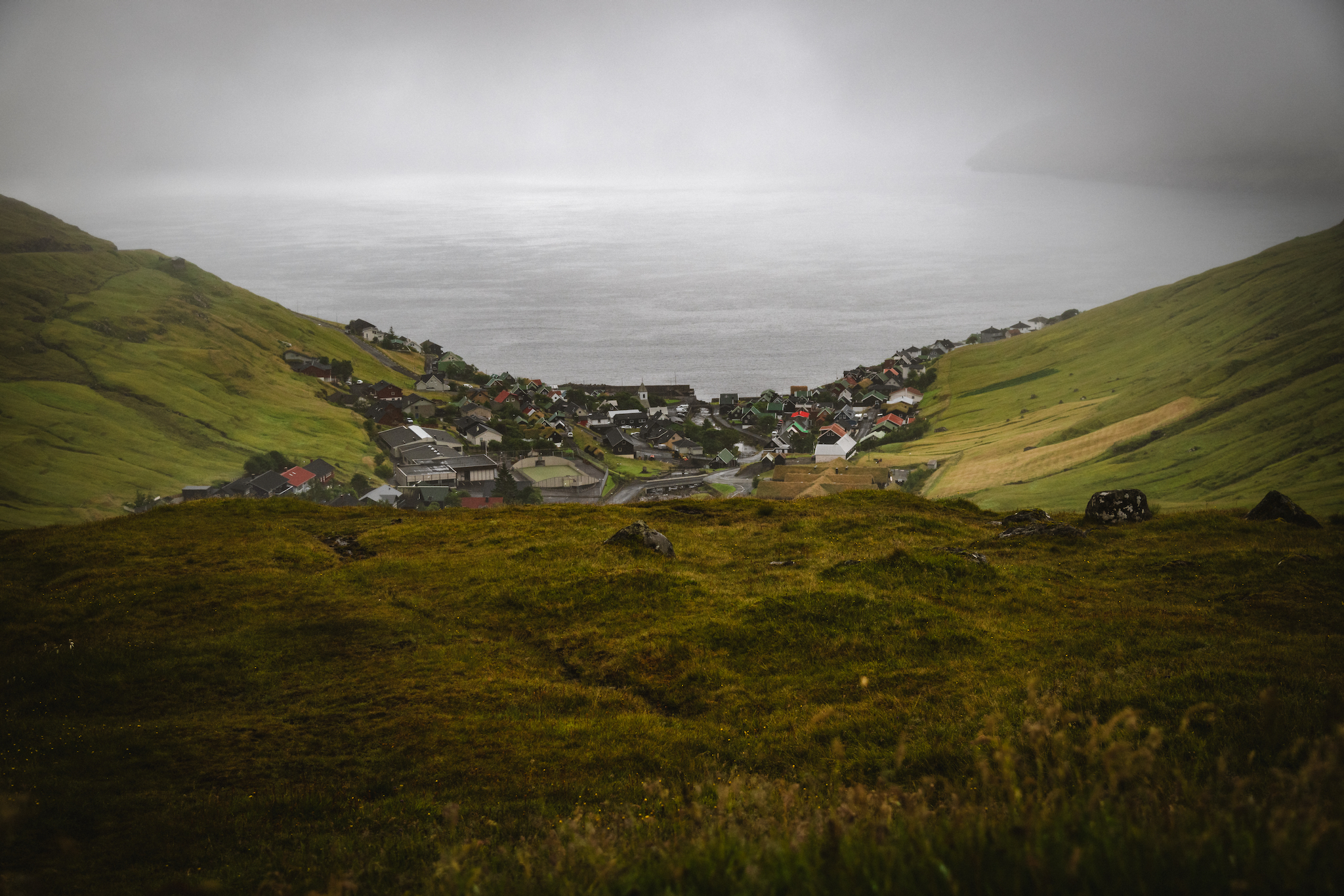
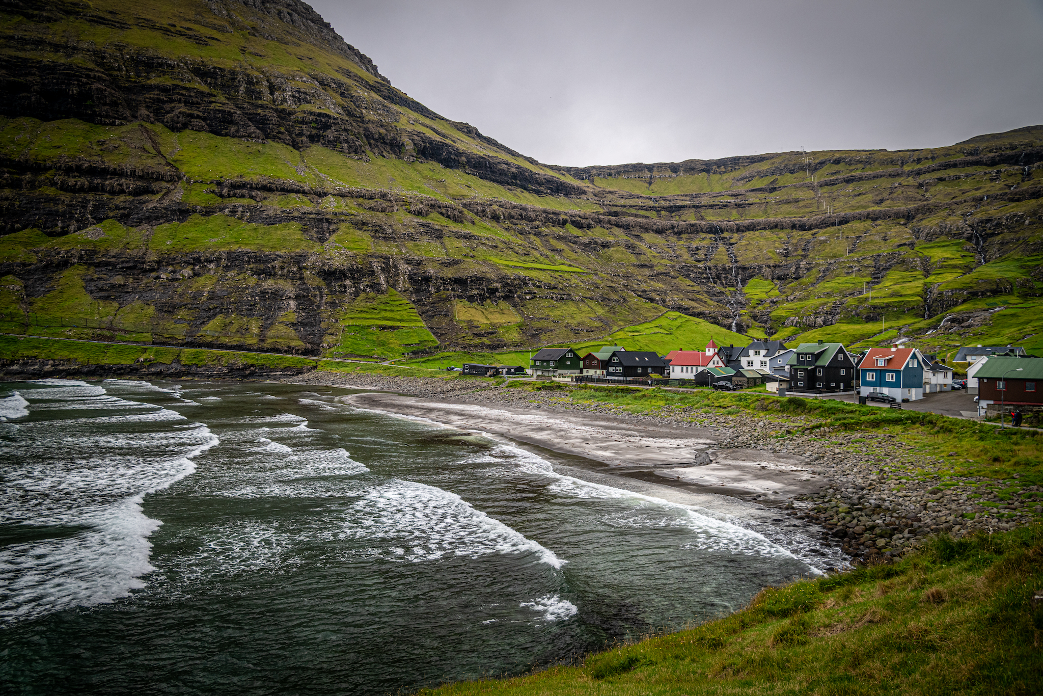
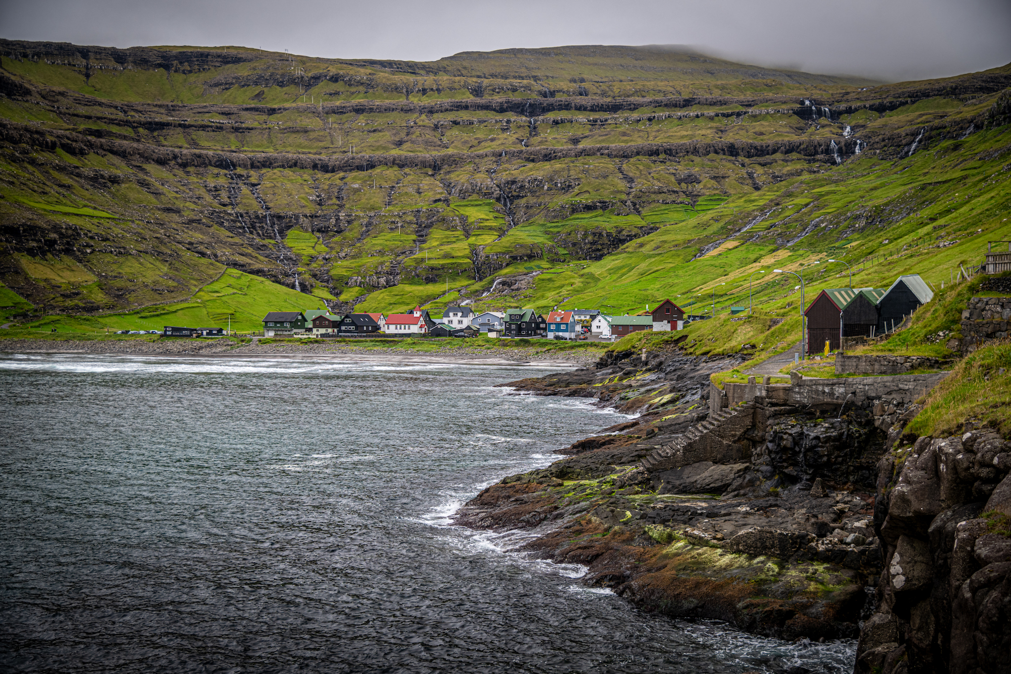
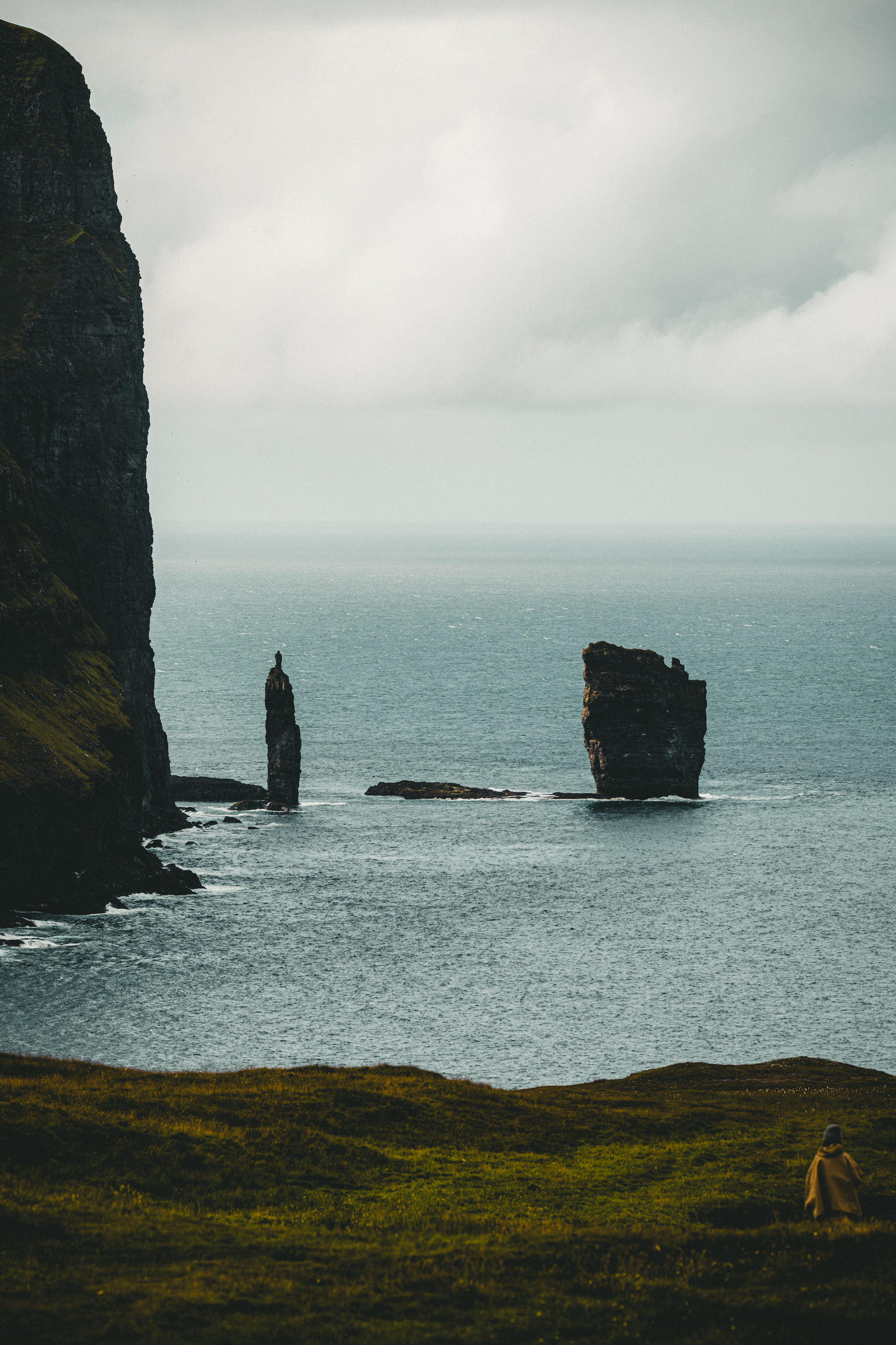
Our next stop was Tjørnuvík, the island's northernmost village. This picturesque village is situated deep in a valley. The drive to the village means driving along a three-mile, single-lane road. Timed stoplights manage traffic at both ends. When you arrive, you can see views of the Risin og Kellingin sea stacks from the beach, and the surrounding area is especially scenic. The village is full of quaint grass-roofed houses.

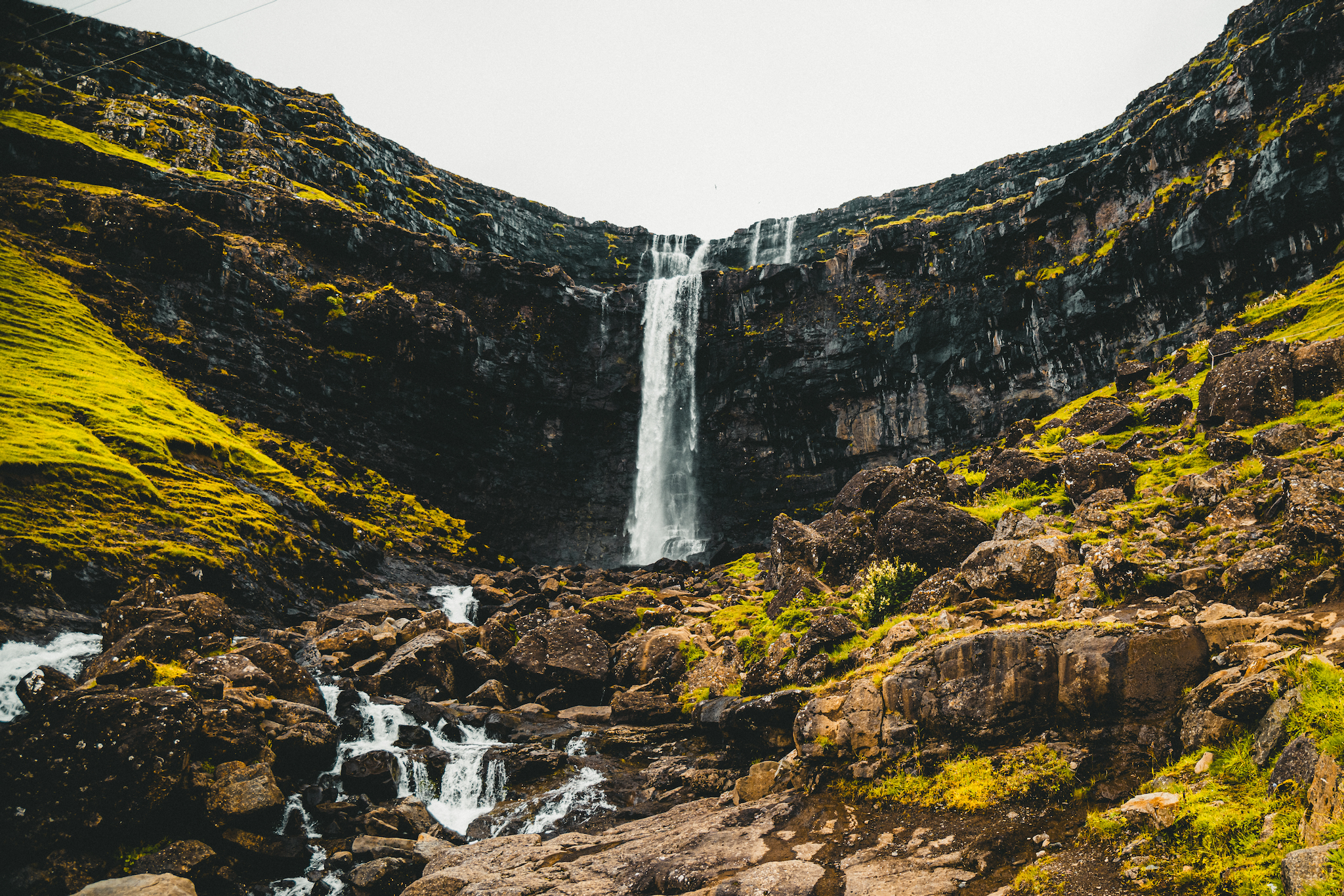
Afterward, we drove to Saksun. Along the way, we stopped at Fossá, one of the Faroe Islands' highest waterfalls. Saksun is another picturesque town surrounded by soaring mountains. In Saksun, we planned a four-mile hike that depended on the tide being low. At low tide, you can walk along the sea floor, through the inlet to the ocean and back. Along the way, you're surrounded by fabulous mountains and beautiful scenery.
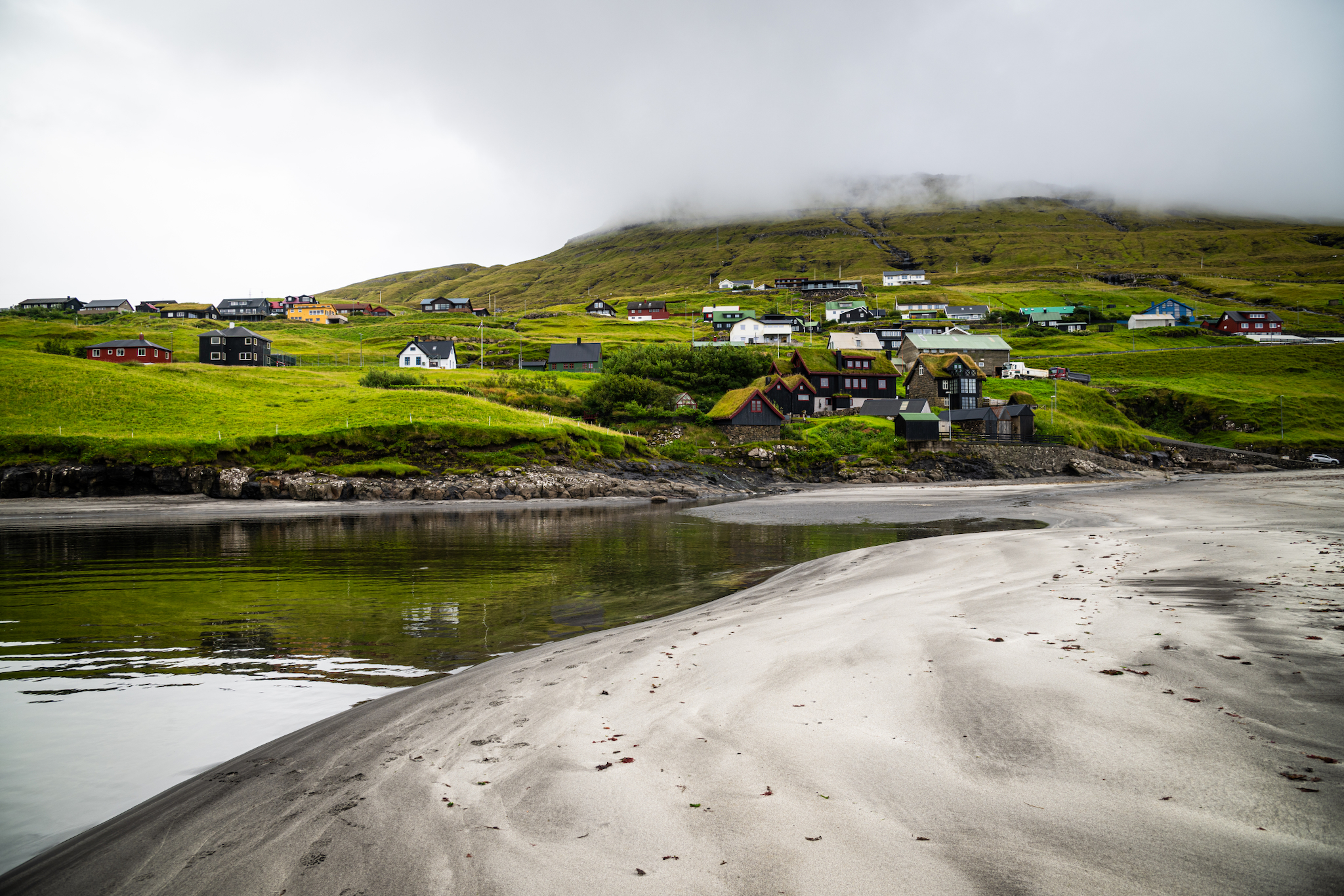
The beach at Leynar, with grass-roofed houses set back from the sand
Kvívík has been settled since Viking times — its longhouse ruins sit near the shore
The road ends at Tjørnuvík, where the mountains close around a black sand beach
Tjørnuvík seen across the bay, waterfalls streaking the mountainside behind
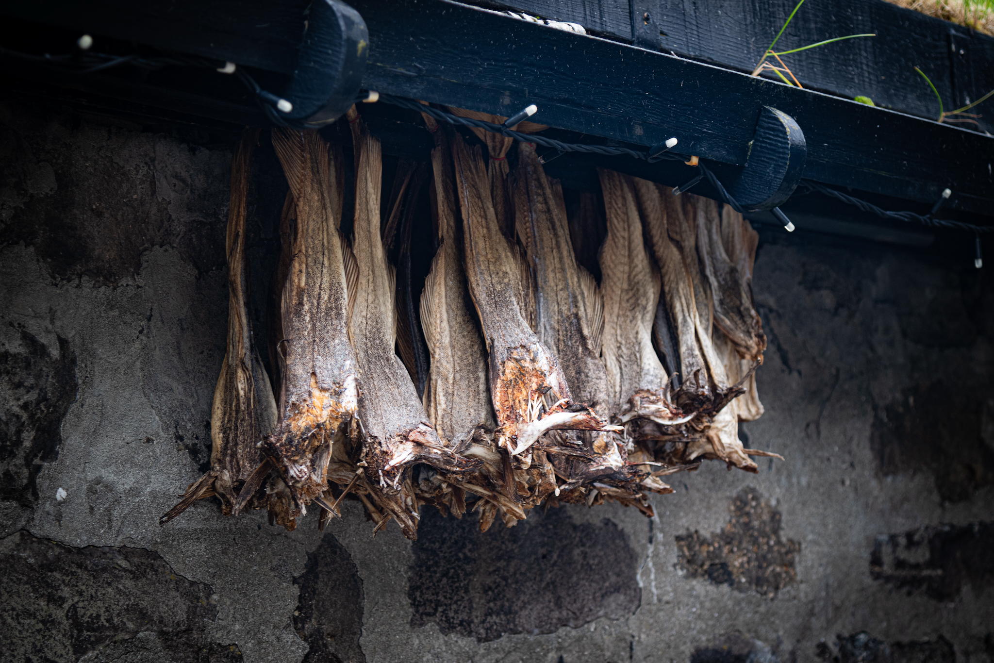
Wind-dried fish hanging in rows under the eaves of a Faroese house
Fossá, the tallest waterfall in the Faroe Islands, on Streymoy's north-east coast
The single-track road through Saksunardalur, running out towards Saksun
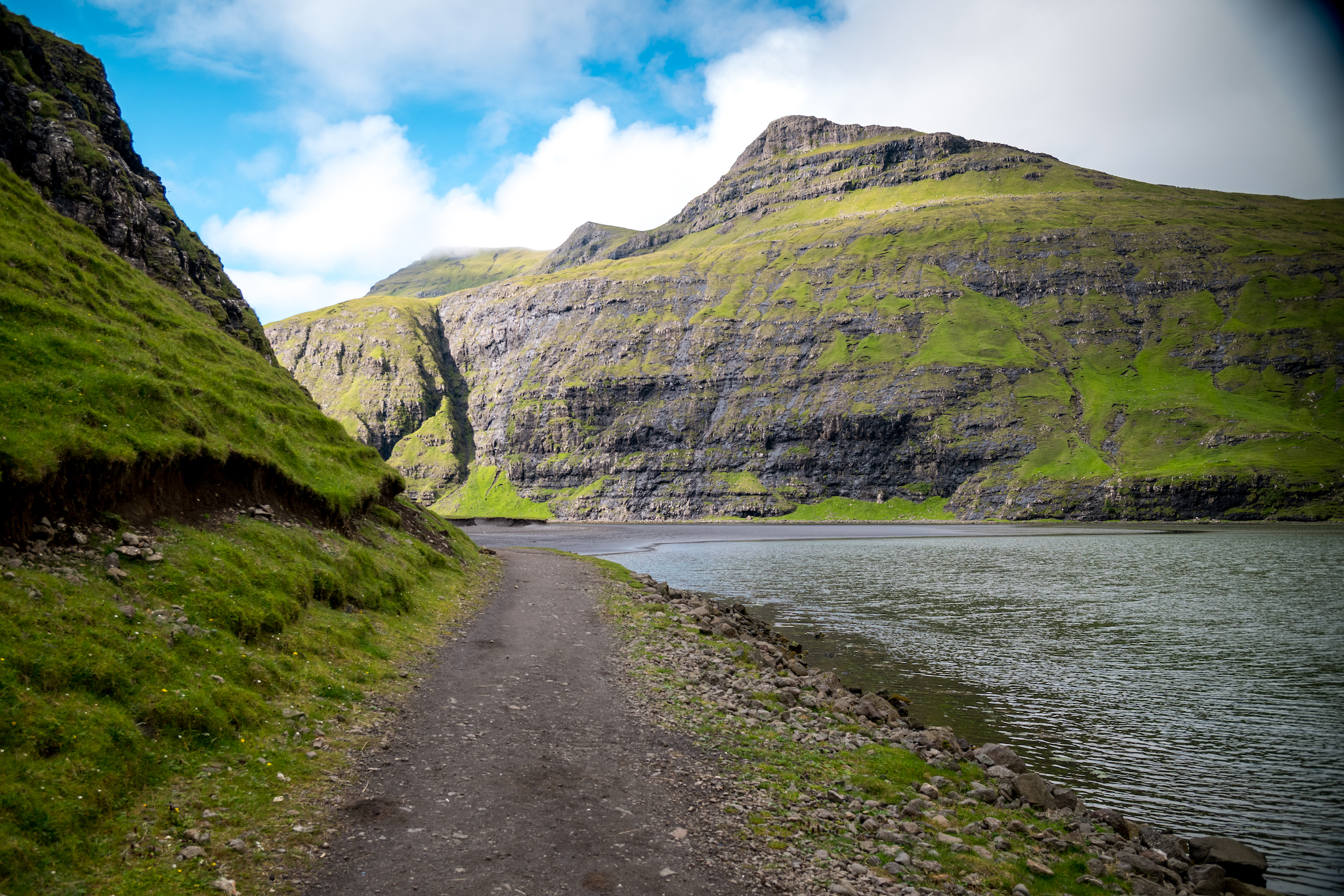
The path along Pollurin at Saksun, leading out to the black sand bar
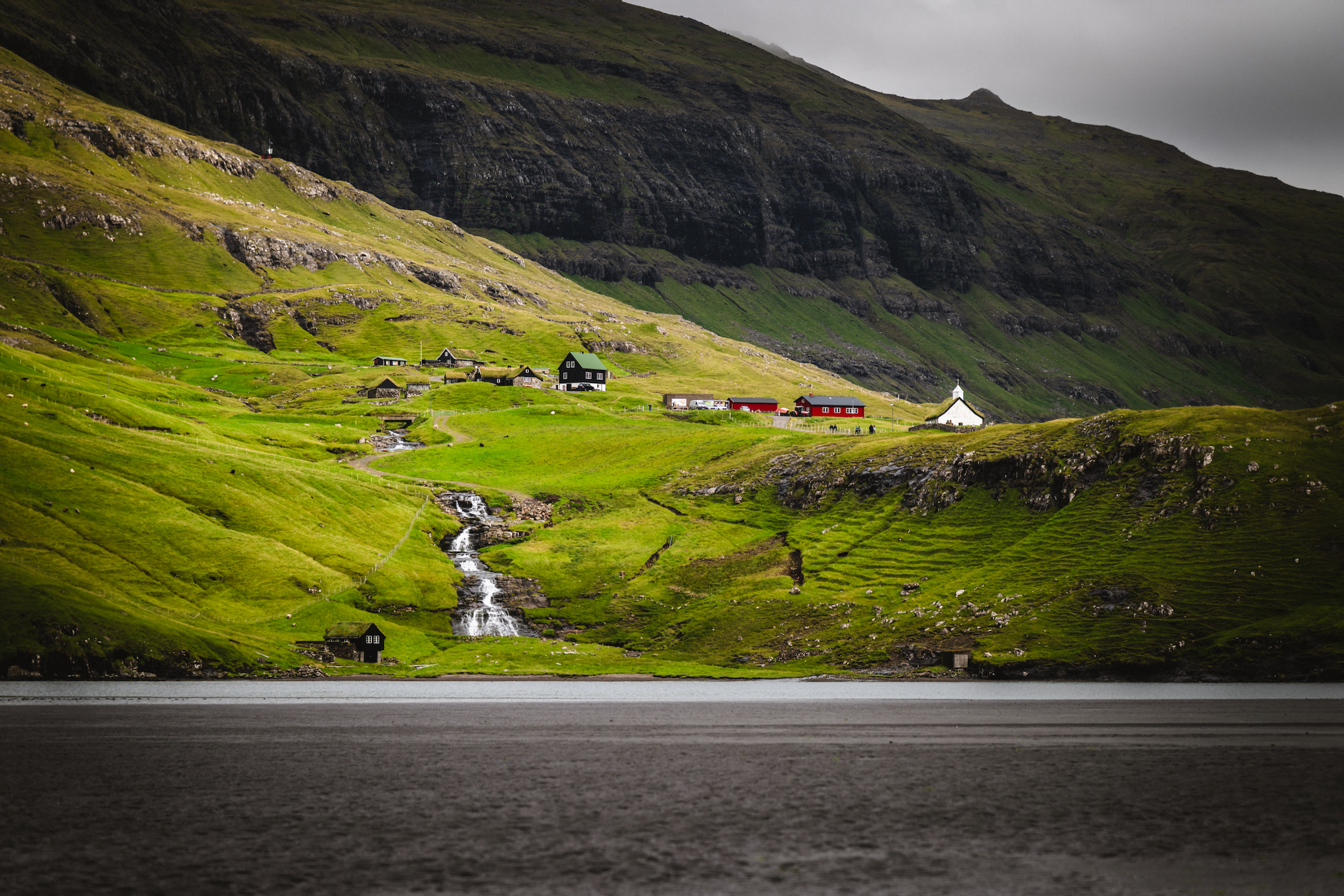
Saksun across the water — the white church and the turf roofs of the Dúvugarðar farm
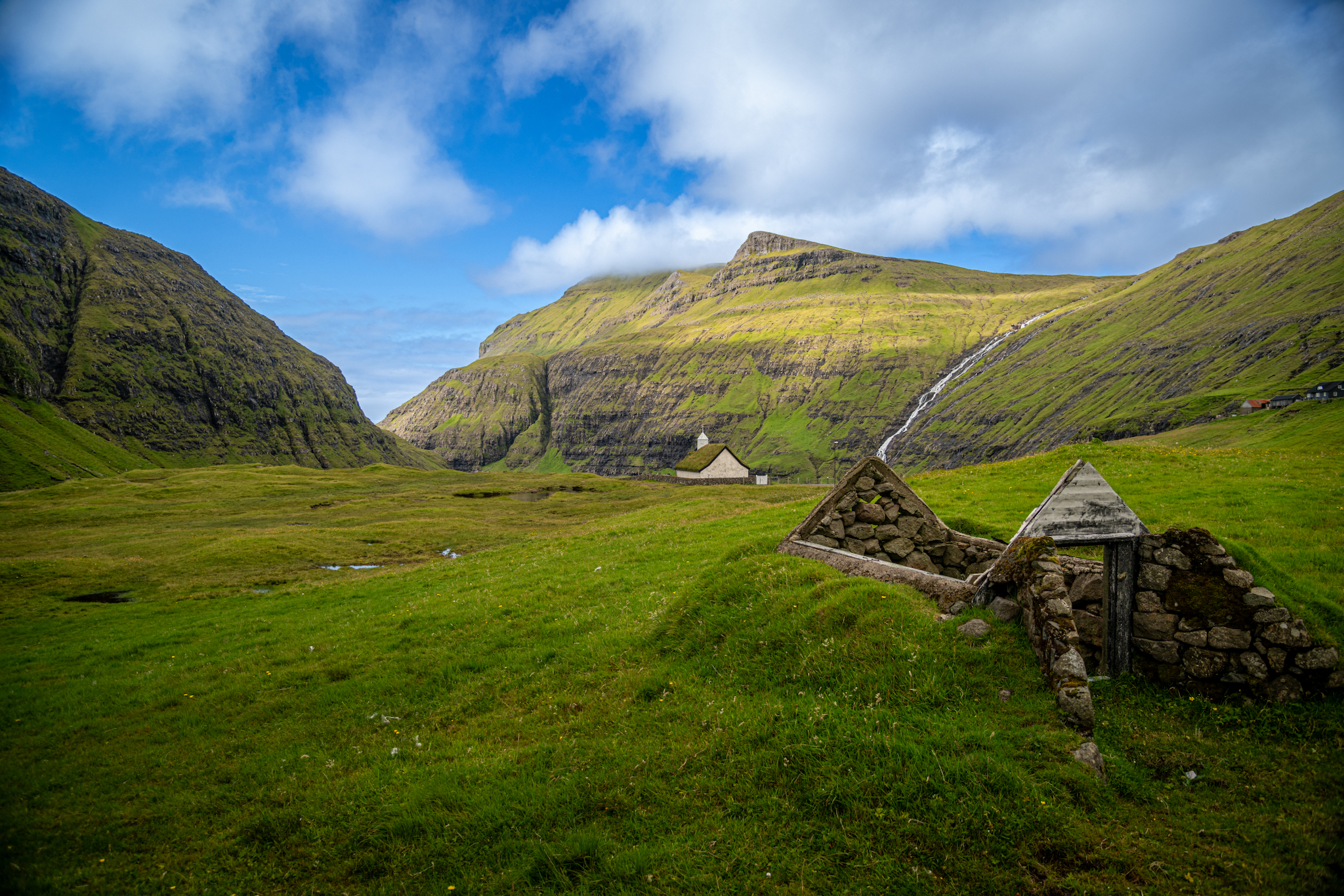
The turf-roofed church at Saksun, standing alone above the Pollurin lagoon
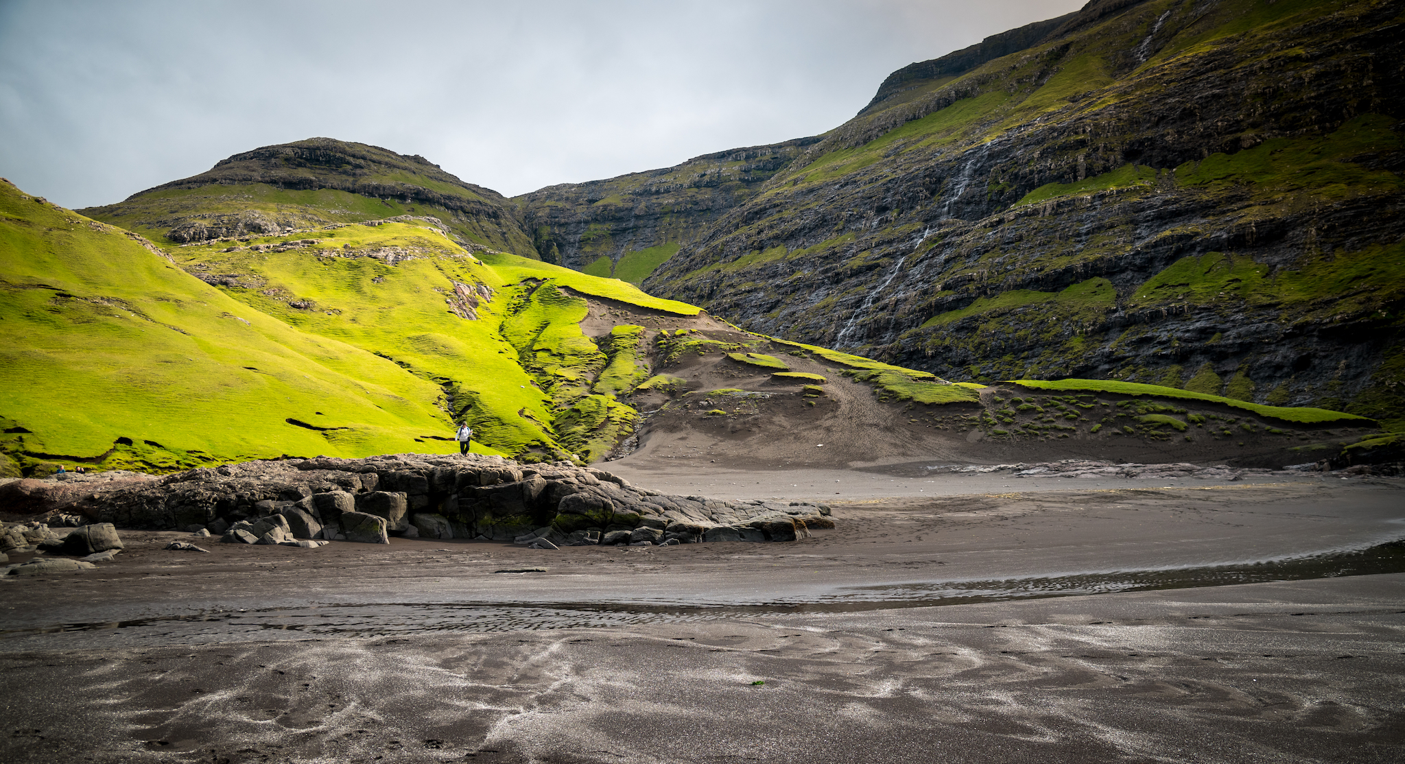
Sunlight on the slopes above Saksun's tidal flats — reachable only at low tide
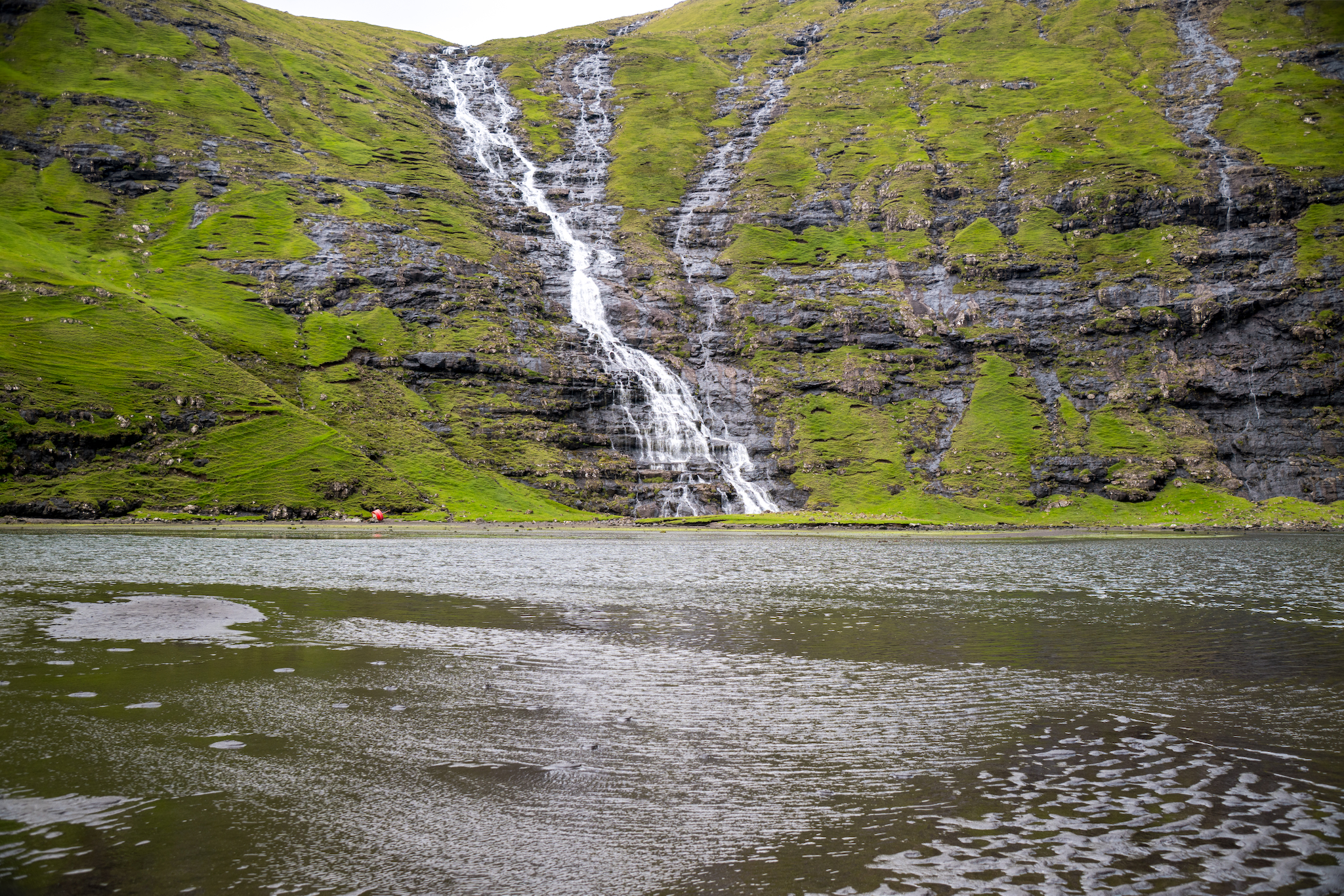
Meltwater braiding down the cliff wall into Pollurin at Saksun
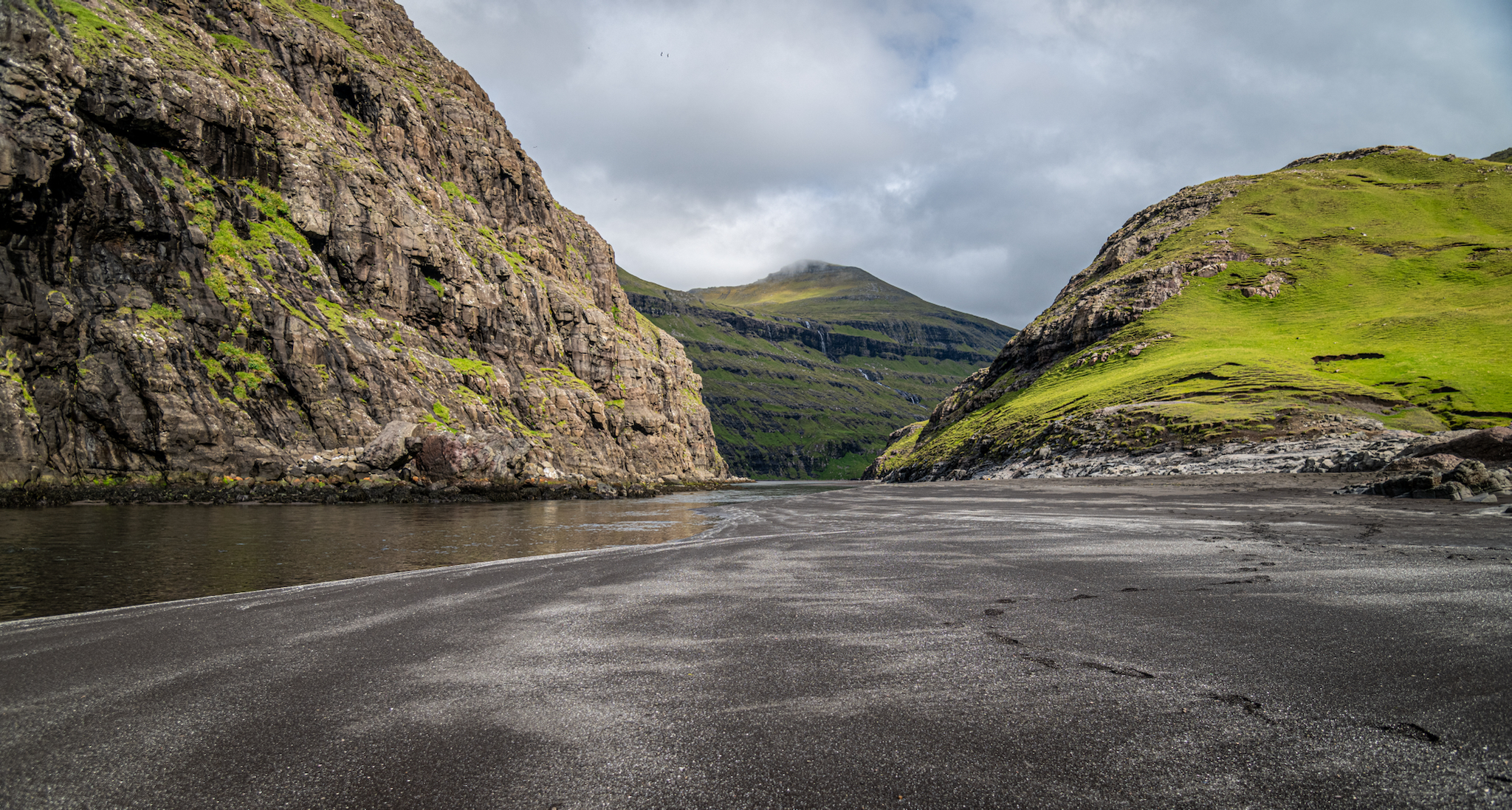
Low tide, Saksun: the sea road opens
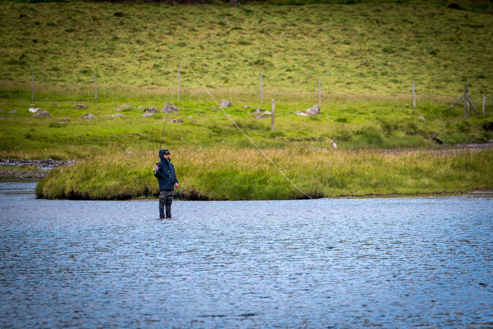
Fly fisher casting in ankle-deep water casting beneath steep green slopes

Kalsoy

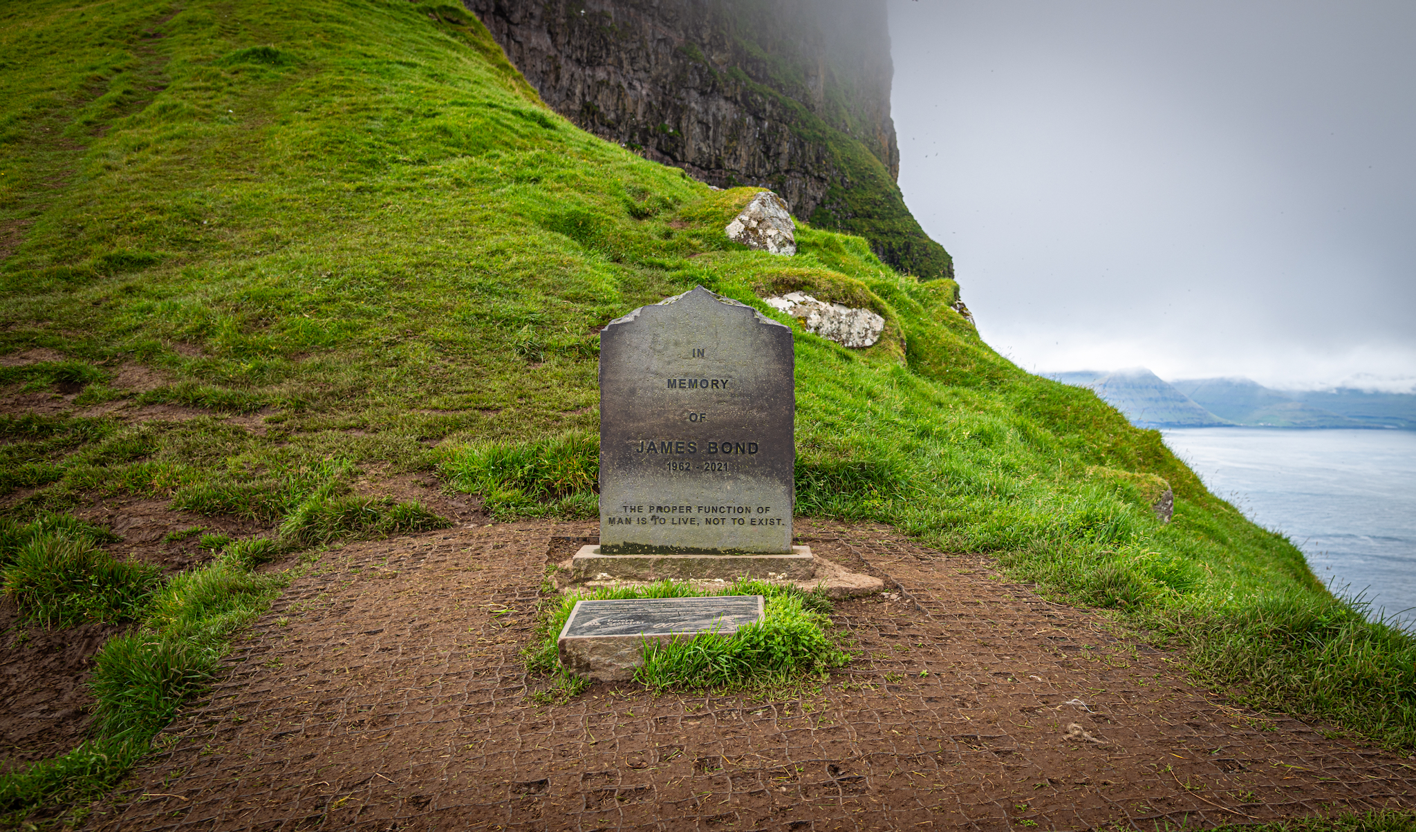
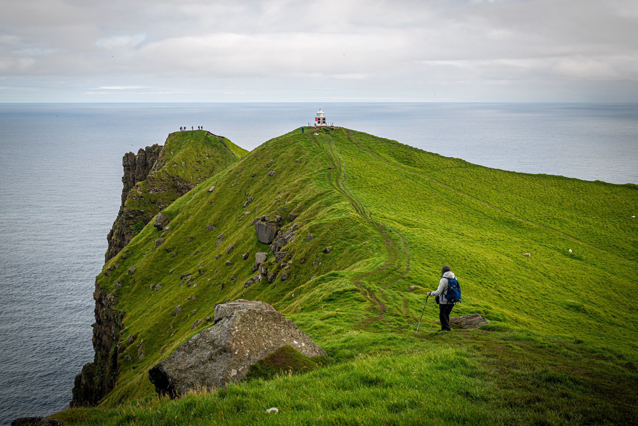
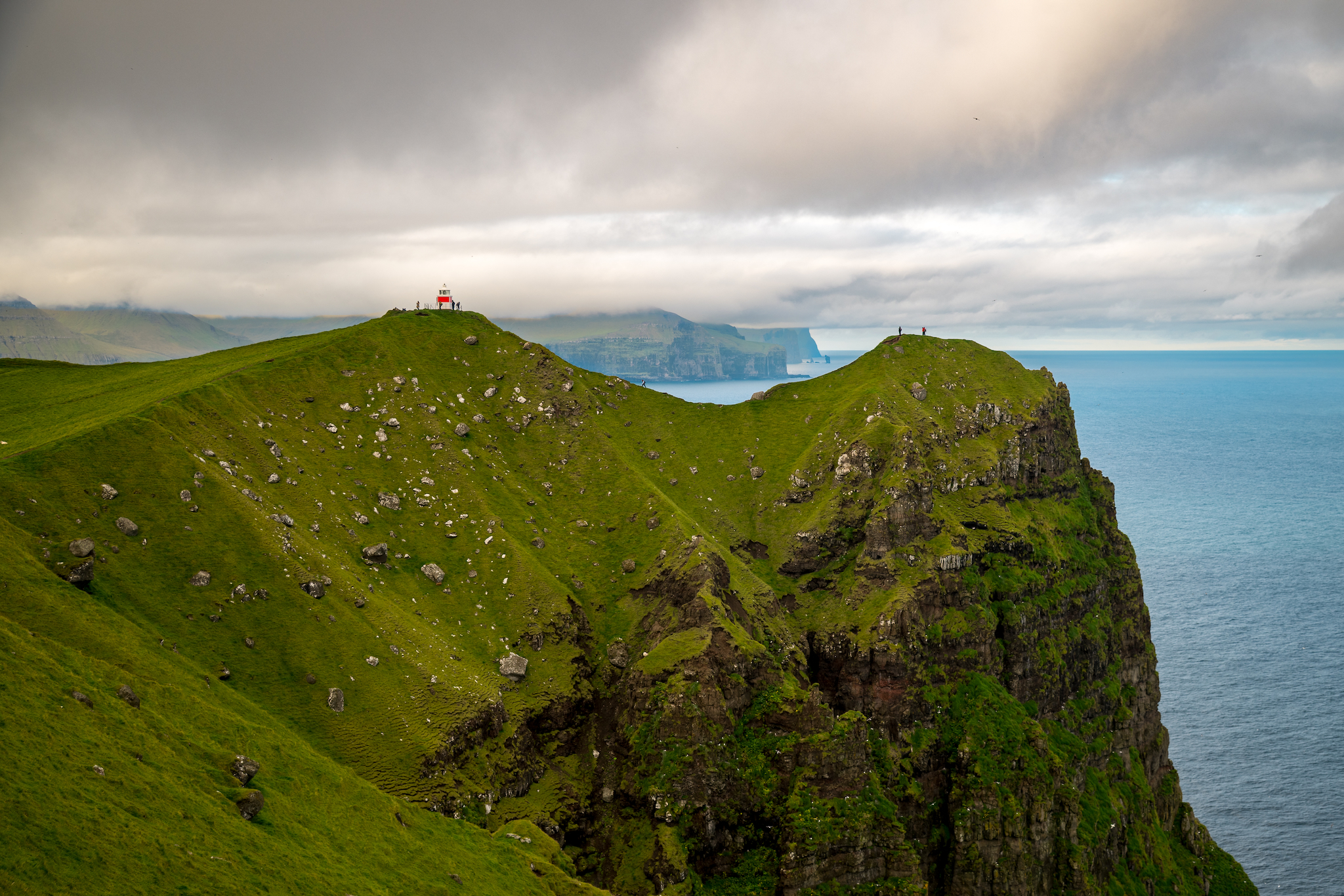
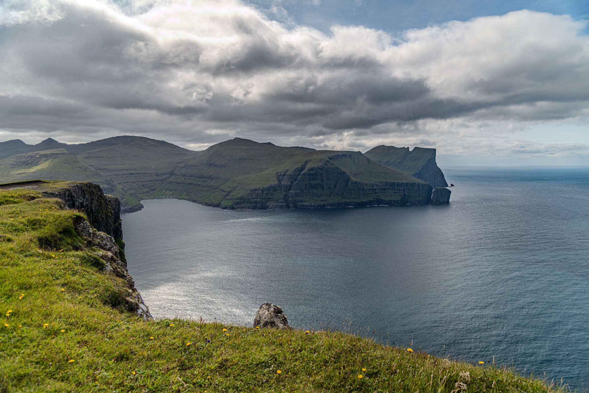
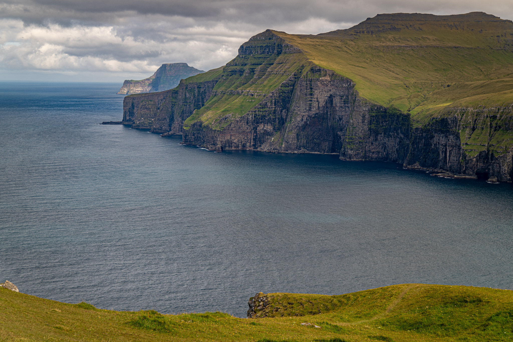
We woke early the next morning and drove from Tórshavn to Klaksvík to catch our 8:00am ferry to Kalsoy. A single-lane road from the port village of Syðradalur to the northernmost village of Trøllanes. We took the first bus after leaving the ferry and arrived in Trøllanes thirty minutes later. Trøllanes is the start of the Kallur Lighthouse Trail, a three-and-a-half-mile loop up to the Kallur Lighthouse and the In Memory of James Bond monument. The views are breathtaking, with your pick of sheer cliffs, rolling hills, or the vast North Atlantic Ocean. From the top of the trail, you can see sights from across the Faroe Islands, like the village of Gjógv and Risin og Kellingin on the island of Eysturoy, as well as Kunoy and Vidoy islands. The hike itself was about an hour and a half round trip. 

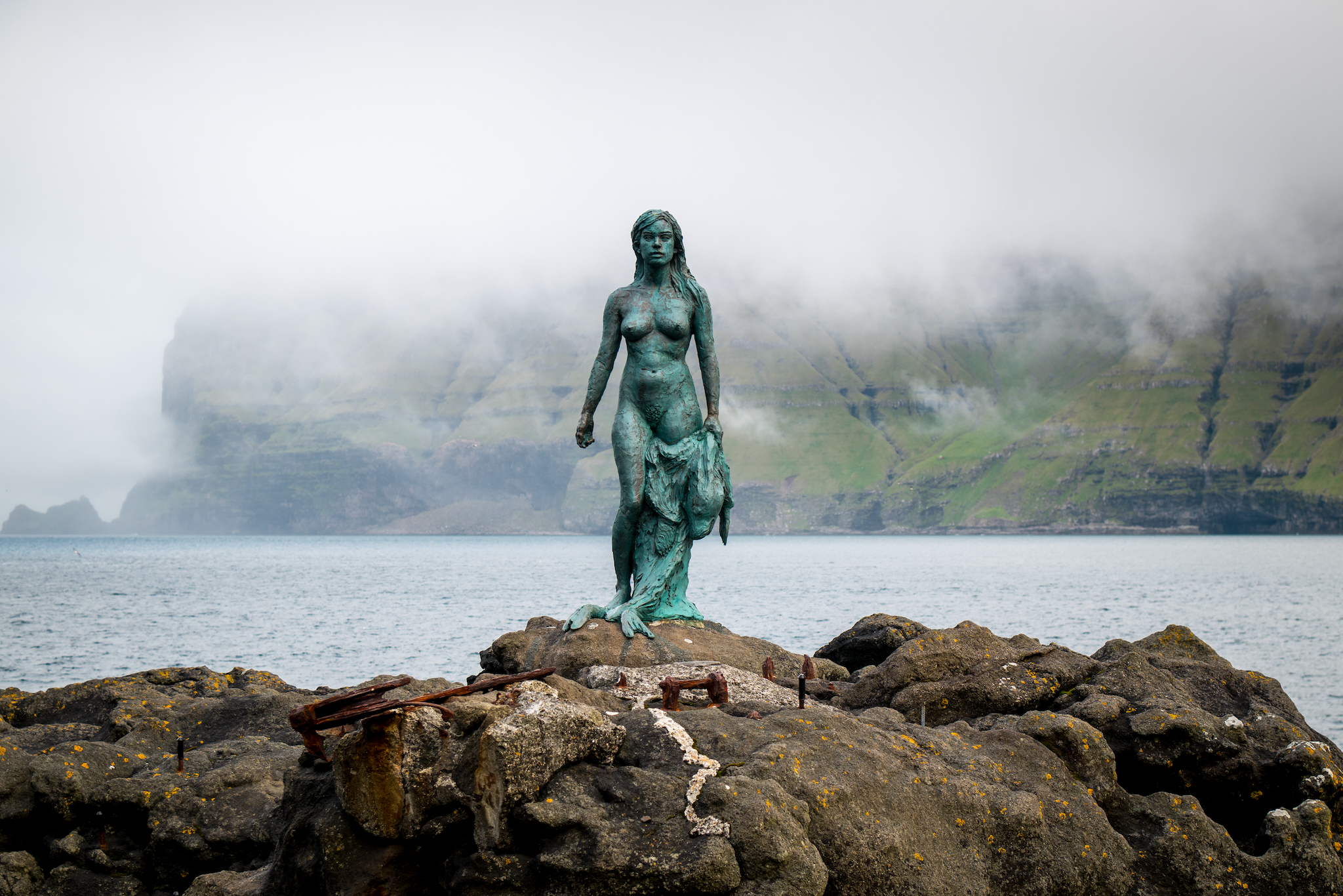
After a bit of a wait, we hopped back on the bus and stopped in the village of Mikladalur. In Mikladalur, a statue is dedicated to the Seal Women, a local legend of the Selkie. We finally hopped back on the bus, returned to the port village of Syðradalur, and caught the ferry back to Klaksvik. On both rounds of this drive, we drove around Jellyfish Roundabout, the world's first undersea roundabout.
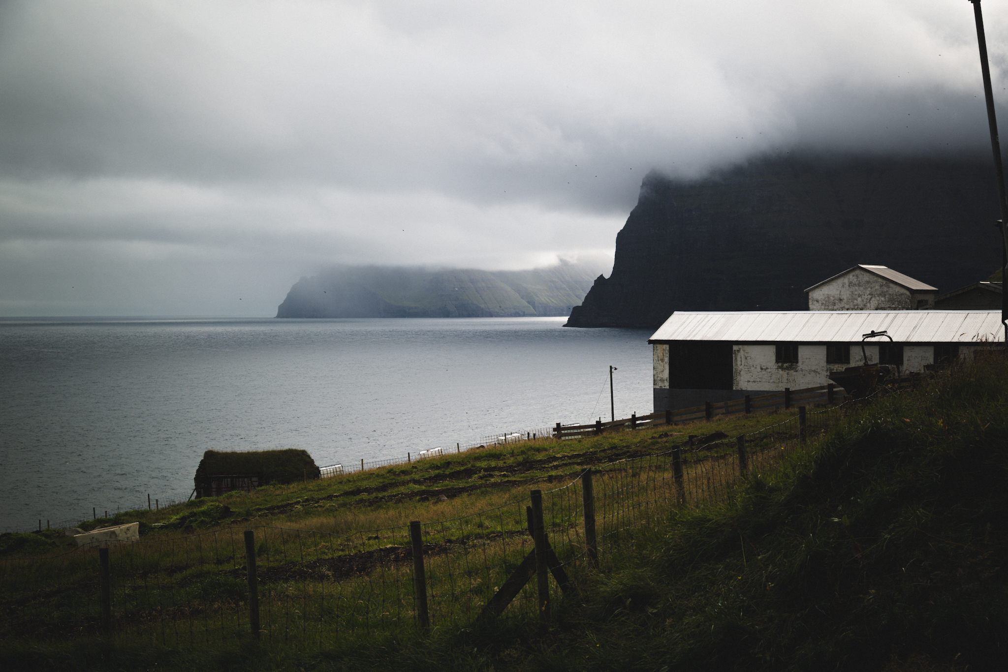
Morning at Trøllanes on Kalsoy, looking across the sound to Kunoy and Borðoy
The James Bond memorial stone near Kallur, set where the closing scene of No Time to Die was filmed
The ridge walk out to Kallur lighthouse at the northern tip of Kalsoy
Kallur lighthouse, Kalsoy — the northernmost point you can walk to on the island
Kallur lighthouse on its headland with distant sea cliffs beyond
The trail to Kallur lighthouse and the James Bond stone, out of Trøllanes
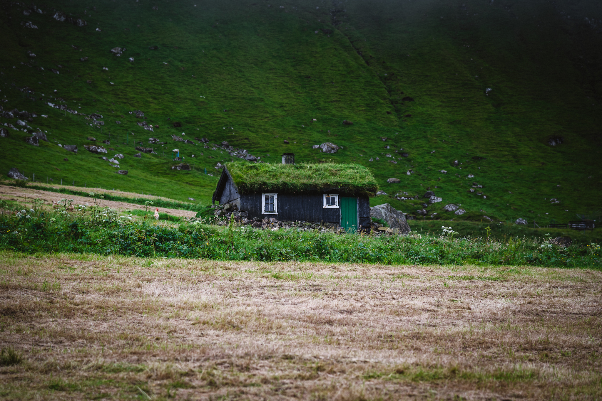
A turf-roofed cottage, green door, Trøllanes
Kópakonan, the Seal Woman, standing on the rocks below Mikladalur on Kalsoy
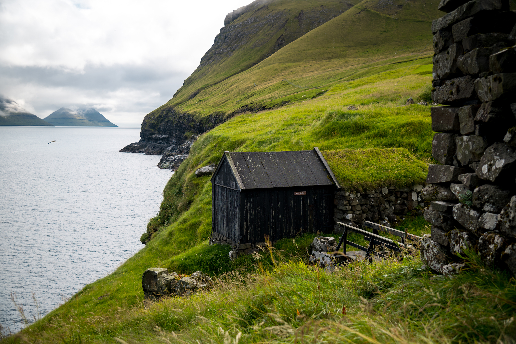
Turf-roofed boathouse at the Mikladalur shoreline
The stream running through the middle of Mikladalur, Kalsoy

Eysturoy

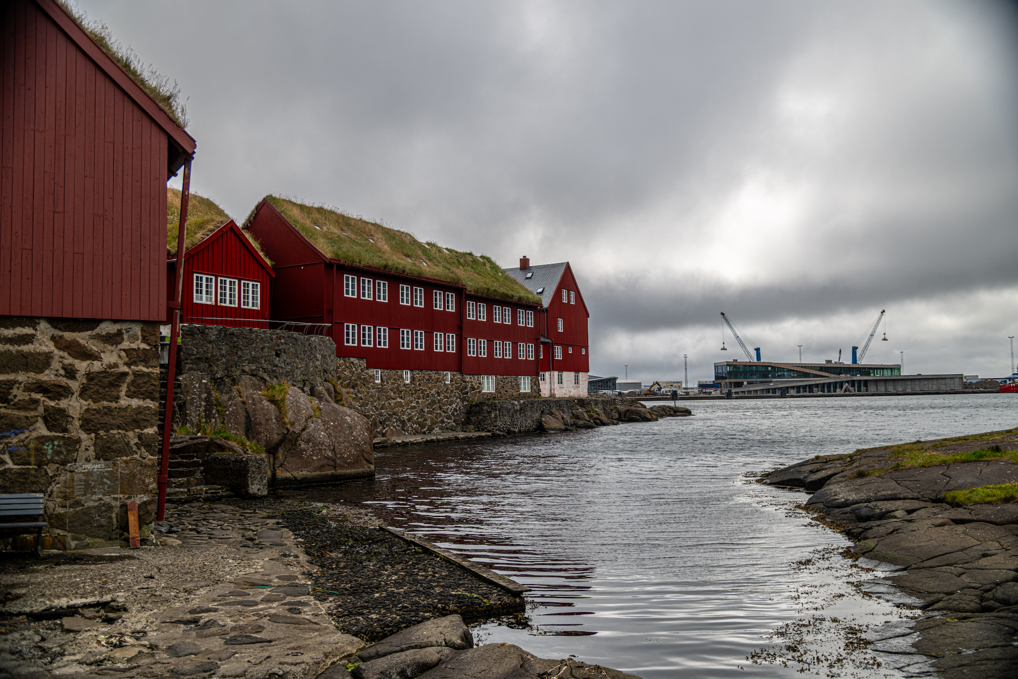
The following morning we started our day in Tórshavn and explored the downtown area for the first time. We started with a coffee and pastry breakfast at Paname Café before walking around the harbor and stopping at Tinganes. This historic location was where parliament met during the Viking age since around 825 AD. It is one of the world's oldest parliamentary meeting places. We also visited a few local shops and did a little shopping. 

In the afternoon, we explored Eysturoy island, driving up to the village of Eiði, where we started our hike of Eiðiskollur Cliff. This hike starts mostly flat and marshy but rises steadily until you reach the plateau, which flattens out. From atop Eiðiskollur, you can look down on the Risin og Kellingin rock formation on the far side and the village of Tjørnuvík, which we visited a few days earlier on the other side. Looking outward, you'll see the great expanse of the North Atlantic Ocean. This hike was around three and a quarter miles and took about one and a half hours round trip. 

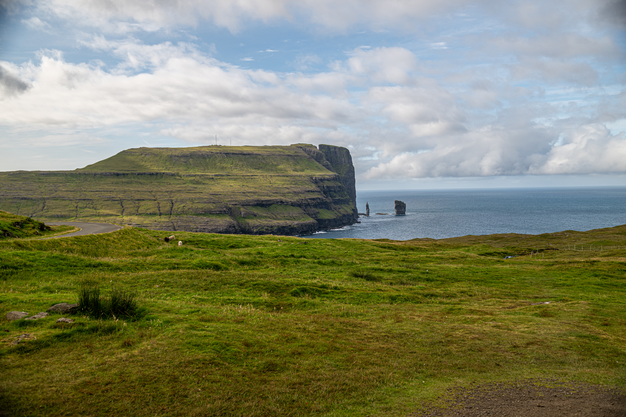
After the hike, we drove to the village of Gjógv, with a quick photo stop for more shots of Risin og Kellingin. The drive to Gjógv climbs high above the fjords and then winds back down, revealing spectacular views. Gjógv is the northernmost village on Eysturoy Island. Its highlighting feature is a stunning 200-meter-long gorge. This is the same village we could see from the Kallur Lighthouse trail on Kalsoy the day before. From Gjógv, you can look up and across at the stunning cliffs and see both the Kallur Lighthouse and the James Bond monument, but the view as a whole really gives you a sense of the cliffs' scale. In town we enjoyed a fantastic dinner at Gjaargardur Guesthouse before returning to Tórshavn.
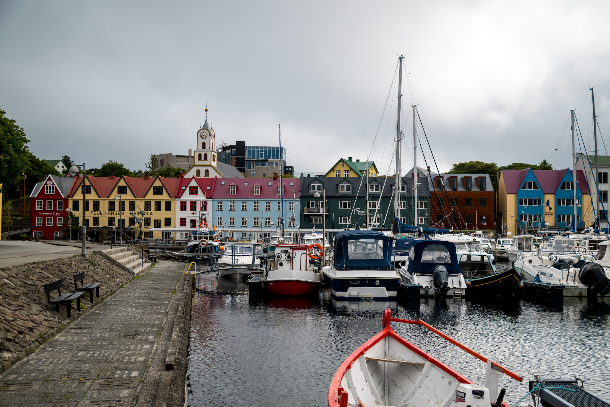
Vestaravág, Tórshavn's old harbour, with the tower of Havnar Kirkja above the boats
Tinganes in Tórshavn, where the Faroese government still works from red turf-roofed timber houses
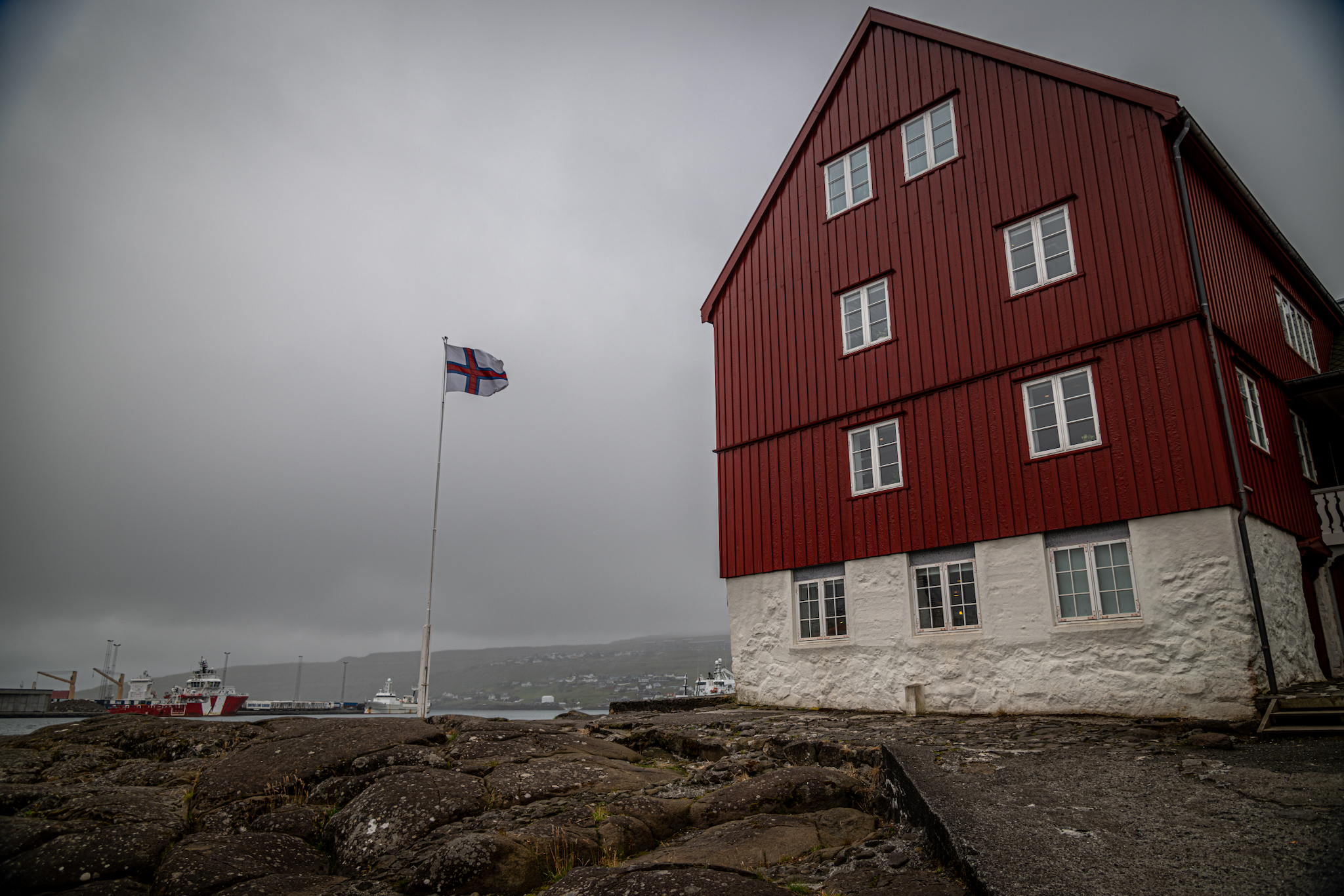
Grey skies over Tinganes — the Faroese flag above the government quarter
Eiði from above, set on the isthmus between Sundini and the open Atlantic
The cliffs of Eiðiskollur close the northern end of Sundini; Tjørnuvík in the distance.
Layered sea cliffs on the north coast of Eysturoy
Risin og Kellingin from the clifftop above Eiði, Eysturoy
Eiðiskollur and the sea stacks Risin og Kellingin, from the grazing land near Eiði
Village of Funningur at the mouth of a fjord below steep mountains
Kallur lighthouse on Kalsoy, picked out across the sound from Gjógv on Eysturoy
Gjógv on Eysturoy's north-east coast, looking across the sound to Kalsoy

Sandoy

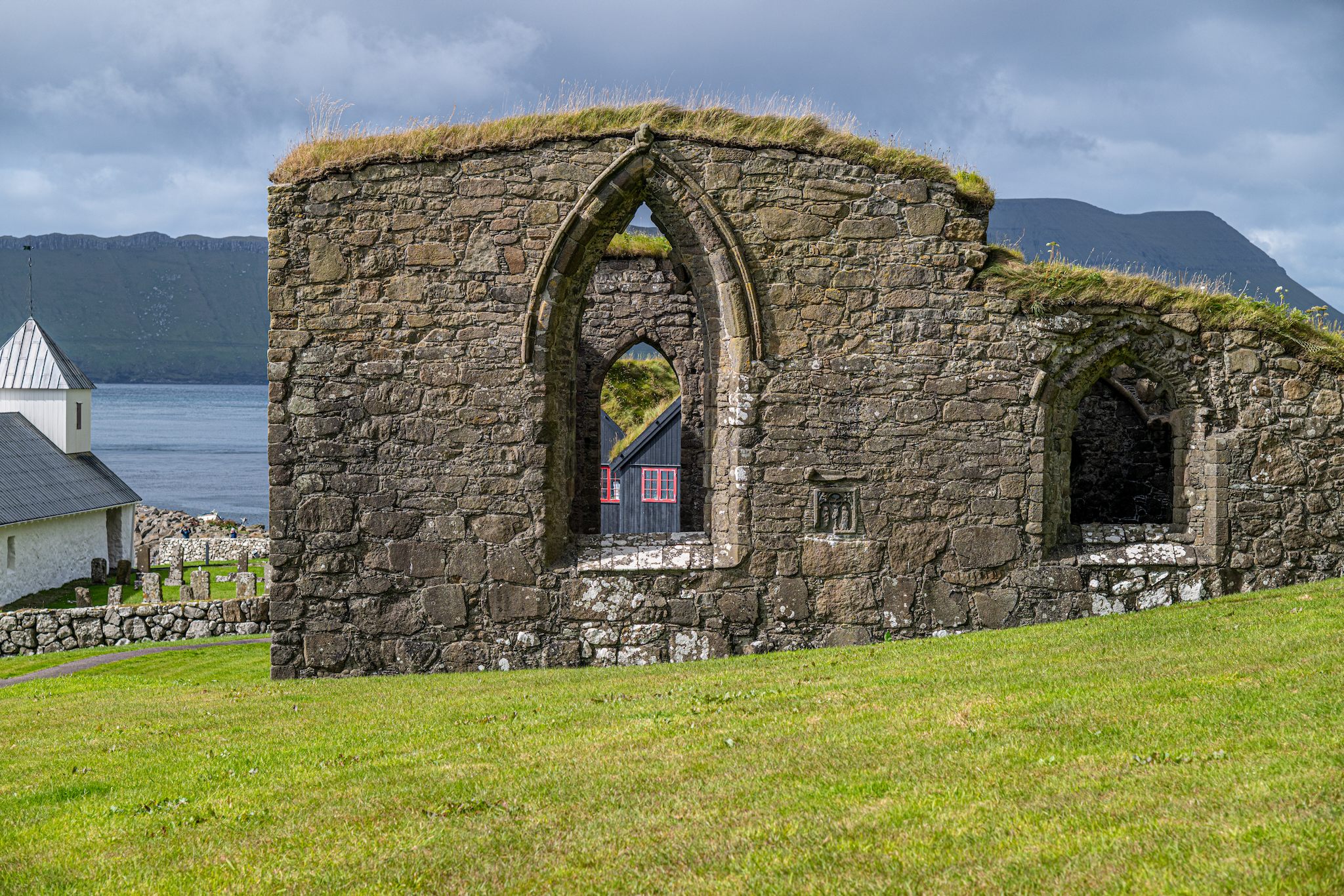
Once again, we started mourning in downtown Tórshavn doing some final shopping and a quick lunch at Bitin, a Scandinavian sandwich shop. In the afternoon we drove south to Kirkjubøar on the southern tip of Streymoy. In Kirkjubøar are Kirkjubøar kirkja / Ólavskirkjan and Magnus Cathedral. Kirkjubøar kirkja, or Saint Olav's Church, is a medieval church built before 1200, making it the oldest church in the Faroe Islands. Magnus Cathedral is a ruined cathedral that began construction around 1300. It's unclear whether construction was ever completed or if it fell into disrepair over the years. The nearby farmhouse, Kirkjubøargarður, dates back to the 11th century.

Afterward, we drove over to the island of Sandoy and stopped in the towns of Húsavik in the south and Skopun in the north.
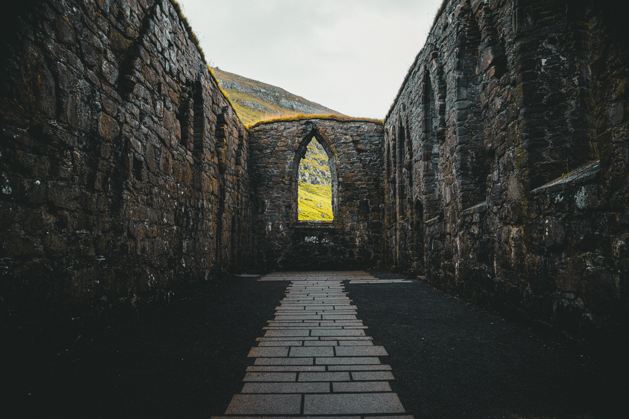
Múrurin, the unfinished Magnus Cathedral at Kirkjubøur, begun around 1300
Looking through the ruin at Kirkjubøur
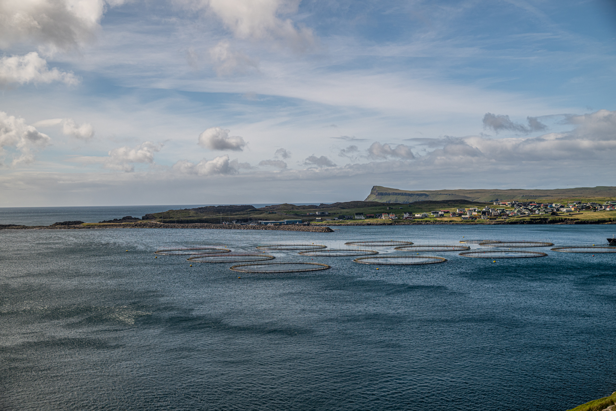
Salmon pens in a sheltered bay on Sandoy, with a village along the far shore
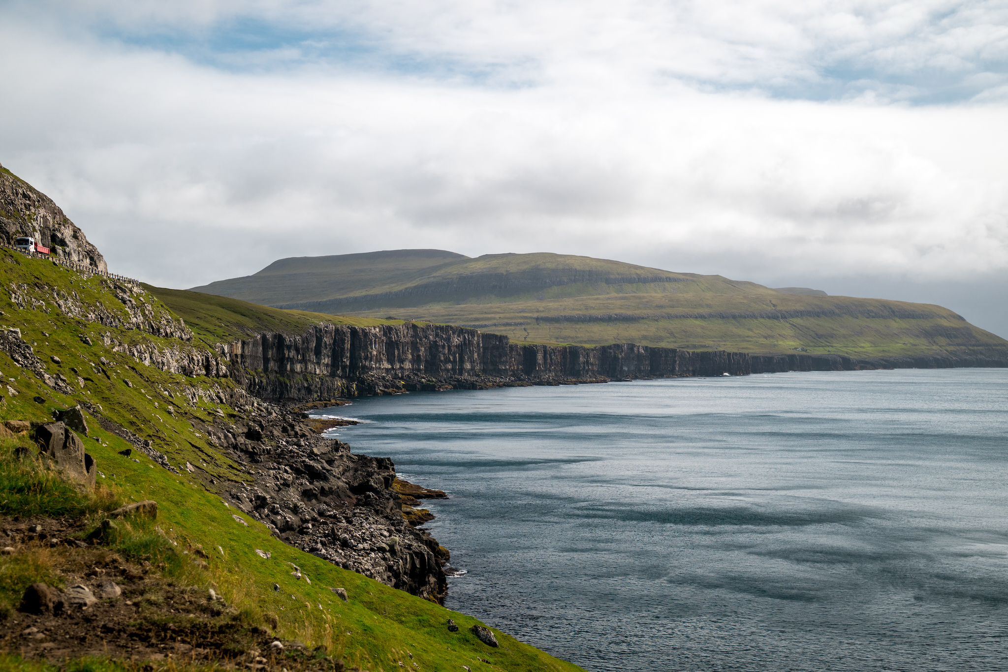
The coast road on Sandoy, cut above a long line of basalt cliffs

Borðoy & Viðoy

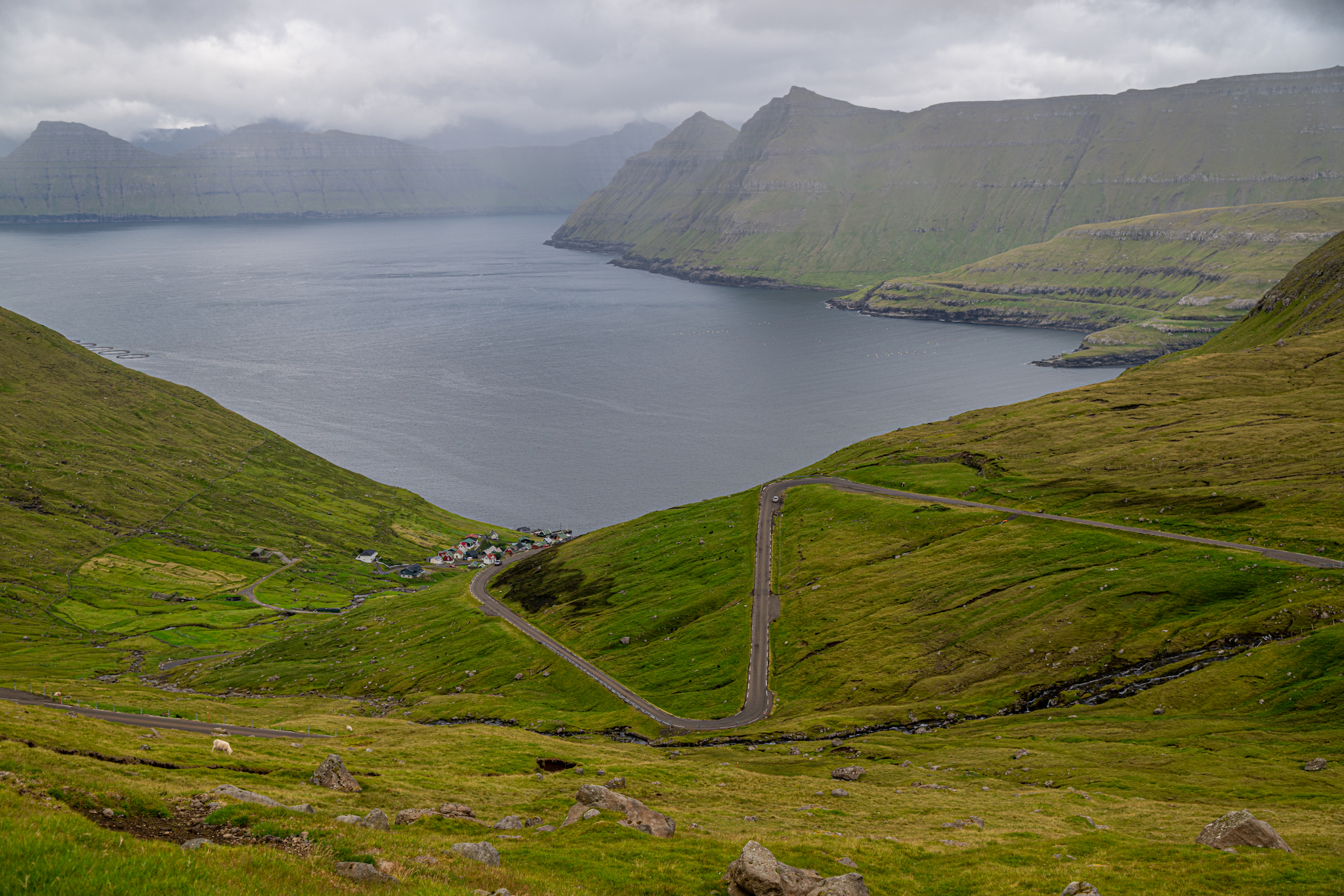
On the final day in the Faroe Islands, we drove around two of the last Islands you can access by car, Borðoy and Viðoy. In Borðoy we stopped by Múli, a virtual ghost town, for a short hike with a lookout over toward Viðareiði on Viðoy. In Viðareiði, we hoped to spend some time in the picturesque town, but light rain and low-hanging fog obscured many of the views. That evening in Tórshavn, we enjoyed some beers at Mikkeller before our final dinner at Michelin-recognized ROKS.
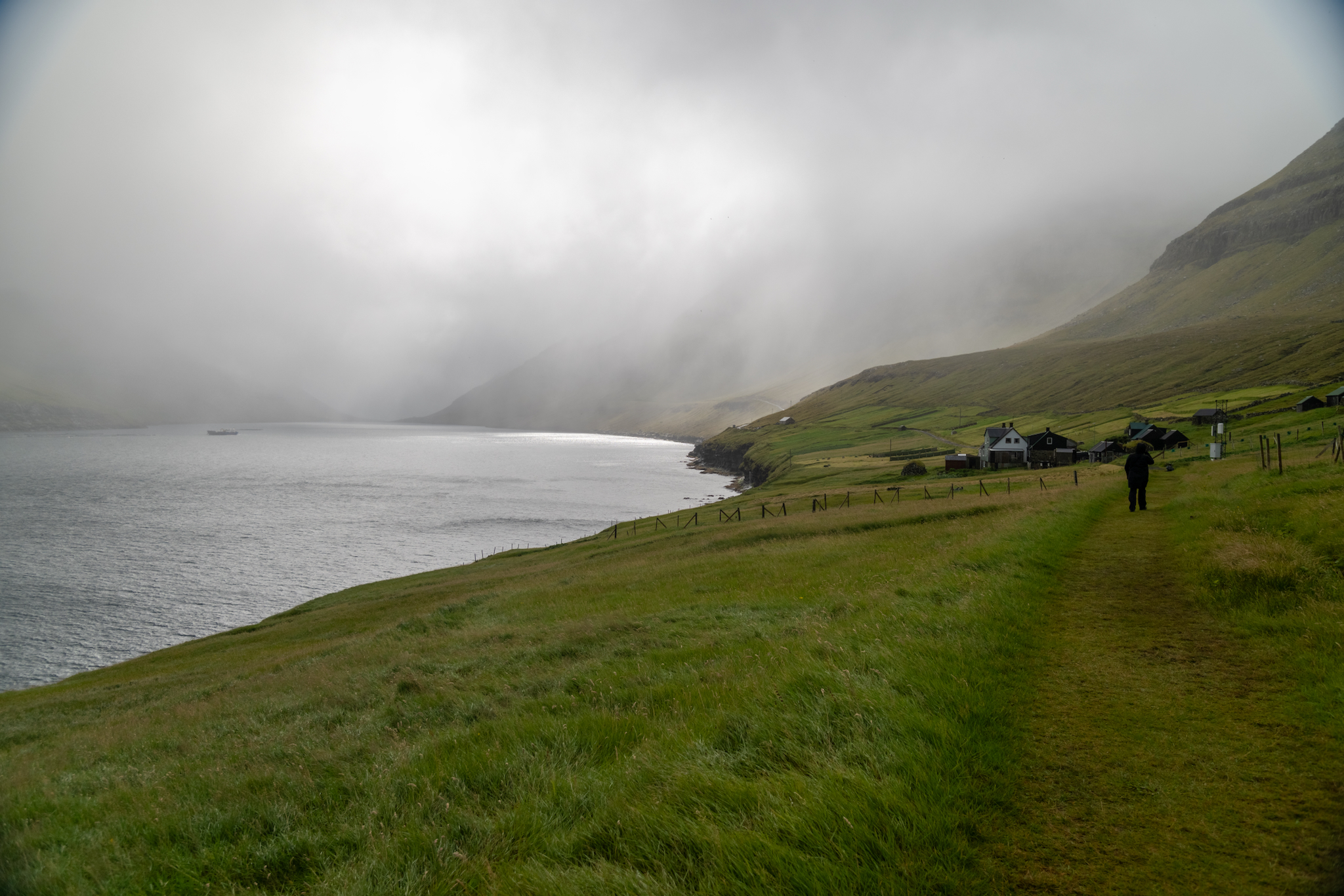
The path into Múli, the near-deserted village on Borðoy's northern shore

Local Recommendations